


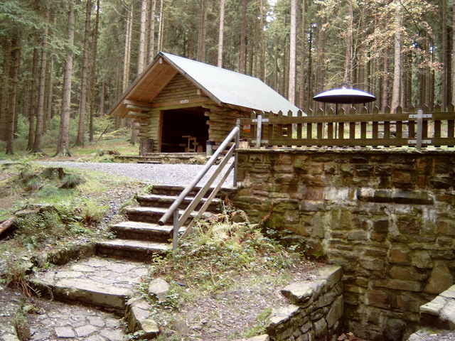
Start an der Johannlandschule in N.-Hainchen.
Richtung Dillquelle,Ermelskopf, Herrenberg, Forsthaus Dietzhölze, Jagdberg, Stiegelburg, Werthenbach, Hellerkopf, Helgersdorf, Pfarrbergskopf zurück zur Johannlandschule.
Richtung Dillquelle,Ermelskopf, Herrenberg, Forsthaus Dietzhölze, Jagdberg, Stiegelburg, Werthenbach, Hellerkopf, Helgersdorf, Pfarrbergskopf zurück zur Johannlandschule.
Further information at
http://www.fewo-kraemer.degaléria trás
Mapa trasy a výškový profil
Minimum height 354 m
Maximum height 668 m
More about the tour author

|
komentáre

Anfahrtsbeschreibung
A45 Ausfahrt Wilnsdorf / Richtung Wilnsdorf-Rudersdorf- Gernsdorf- Irmgarteichen-Hainchen.
A45 Ausfahrt Wilnsdorf / Richtung Wilnsdorf-Rudersdorf- Gernsdorf- Irmgarteichen-Hainchen.
GPS trasy
Trackpoints-
GPX / Garmin Map Source (gpx) download
-
TCX / Garmin Training Center® (tcx) download
-
CRS / Garmin Training Center® (crs) download
-
Google Earth (kml) download
-
G7ToWin (g7t) download
-
TTQV (trk) download
-
Overlay (ovl) download
-
Fugawi (txt) download
-
Kompass (DAV) Track (tk) download
-
list trasy (pdf) download
-
Original file of the author (gpx) download
More about the tour author
|
|
Add to my favorites
Remove from my favorites
Edit tags
Open track
My score
Rate