


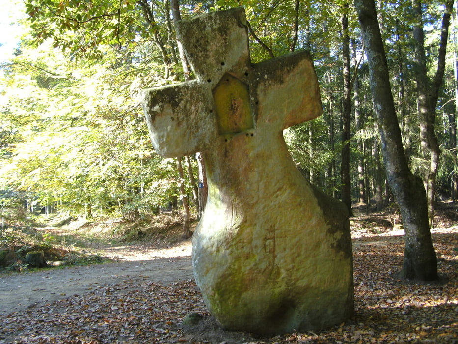
vom Parkplatz an der Kirche in Ferschweiler geht`s los auf den Wanderweg links der Strasse. Dann über die Nr 8 zum Diesburgerhof weiter über die 8 bis zur Weggabelung und dann rechts auf den Weg Nr. 9 bis zum Fraubillenkreuz, dann zur Wikingerburg und von da zur Klause Schankweiler. Über den Parkplatz und den Weg 1 zurück nach Ferschweiler. Bei Nelches noch den "Feinen Eifeler Birnenbrand" eingekauft und zurück zum Auto.
galéria trás
Mapa trasy a výškový profil
Minimum height 316 m
Maximum height 436 m
More about the tour author
|
|
Graf_Geo |
komentáre

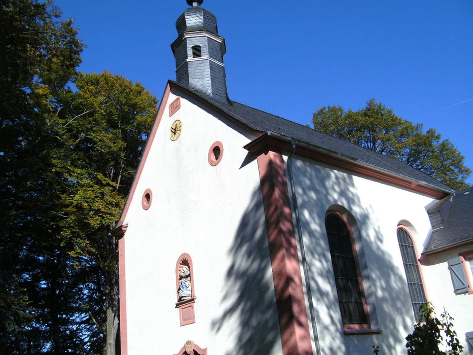
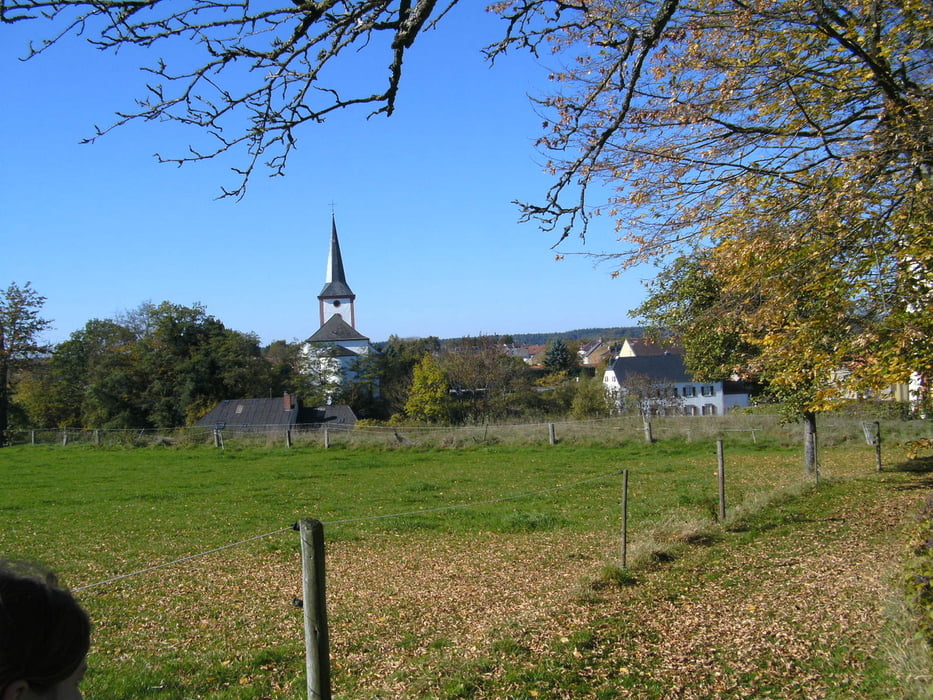
Ausgangspunkt ist der Parkplatz in Ferschweiler an der K19 Richtung Sauertal in der Nähe der Kirche.
GPS trasy
Trackpoints-
GPX / Garmin Map Source (gpx) download
-
TCX / Garmin Training Center® (tcx) download
-
CRS / Garmin Training Center® (crs) download
-
Google Earth (kml) download
-
G7ToWin (g7t) download
-
TTQV (trk) download
-
Overlay (ovl) download
-
Fugawi (txt) download
-
Kompass (DAV) Track (tk) download
-
list trasy (pdf) download
-
Original file of the author (gpx) download
More about the tour author
|
|
Graf_Geo |
Add to my favorites
Remove from my favorites
Edit tags
Open track
My score
Rate