


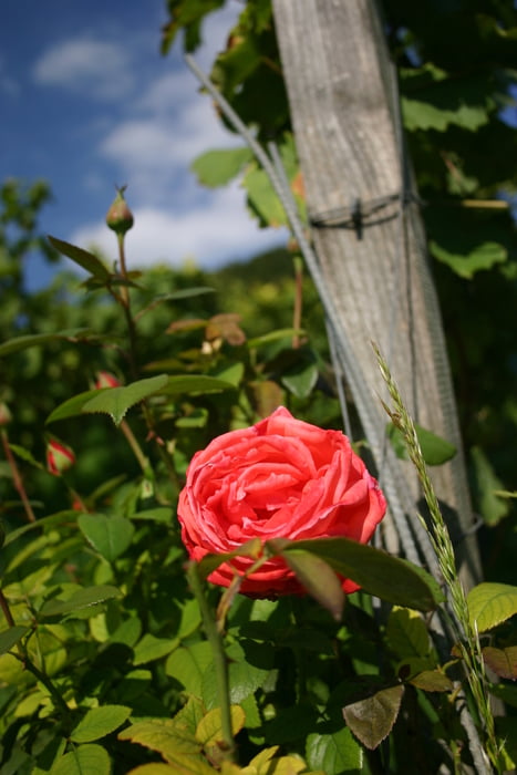
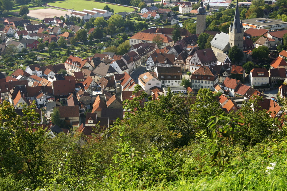
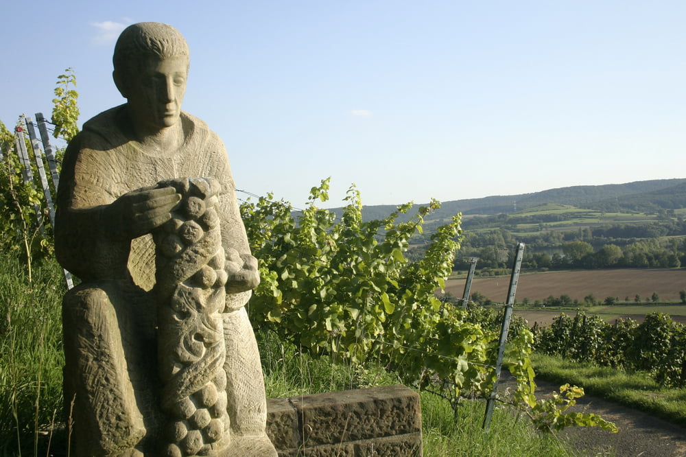
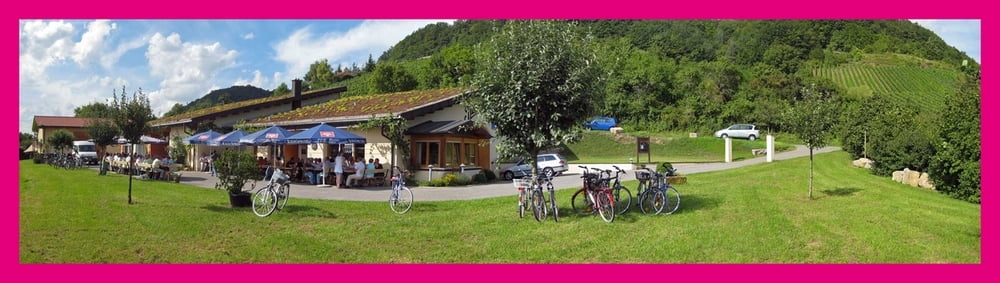
Vom Franken-Weingut Bauerschmitt aus geht es durch die Ziegelangerer Weinberge, weiter über alte Hohlwege quer durch den Wald vorbei an der Schmachtenburg, an alten Steinbrüchen und über dem Höhenweg zum Zeiler Käpelle. Dann den alten Kreuzweg hinunter und vorbei an dem neu gestalteten Altach-Bachlauf in Zeil. Weiter durch Schmachtenberg und über den oberen Weinbergsweg mit herrlichem Ausblick zurück nach Ziegelanger. Infos und weitere Touren: www.weingut-bauerschmitt.de
Further information at
http://www.weingut-bauerschmitt.degaléria trás
Mapa trasy a výškový profil
Minimum height 170 m
Maximum height 371 m
More about the tour author
|
|
MartinBauerschmitt |
komentáre

Autobahn (A70):
Von Bamberg kommend: Ausfahrt 12 Eltmann, von Schweinfurt kommend: Ausfahrt 11 Knetzgau, Zeil.
Tel: 09524 302078
info(at)weingut-bauerschmitt.de
GPS trasy
Trackpoints-
GPX / Garmin Map Source (gpx) download
-
TCX / Garmin Training Center® (tcx) download
-
CRS / Garmin Training Center® (crs) download
-
Google Earth (kml) download
-
G7ToWin (g7t) download
-
TTQV (trk) download
-
Overlay (ovl) download
-
Fugawi (txt) download
-
Kompass (DAV) Track (tk) download
-
list trasy (pdf) download
-
Original file of the author (gpx) download
More about the tour author
|
|
MartinBauerschmitt |
Add to my favorites
Remove from my favorites
Edit tags
Open track
My score
Rate