Login

Zabudli ste prihlasovacia meno

Cookies have to be accepted!
Your browser's cookie functionality is disabled. Please enable this functionality.

Not a member yet?

Register now
Login

Available for registred users only

Log in to use this feature.

Zabudli ste prihlasovacia meno

Cookies have to be accepted!
Your browser's cookie functionality is disabled. Please enable this functionality.

Not a member yet?

Register now
Filter
Kategórie
Advanced filters
  • Dĺžka (km)
  • výškomer
Uložiť filter Reset filter

TrackRank

QRCode

Technical data

Dĺžka106,3 km výškomer1001 m Way down1046 m Doba06:50 h:m dátum23.10.2010
ohodnotenia Author Kraj pôžitok z túry kondícia technika

štatistika

2766 náhľady ohodnotenia 126 Stiahnutia priemer
Rate
  • list trasy
  • príjazd
  • Stiahnutia

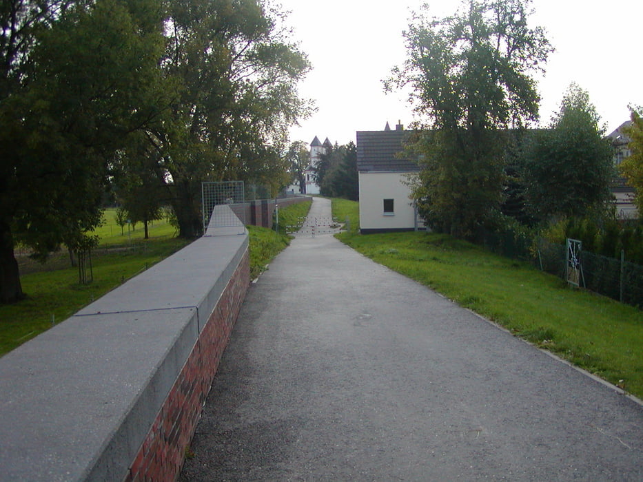
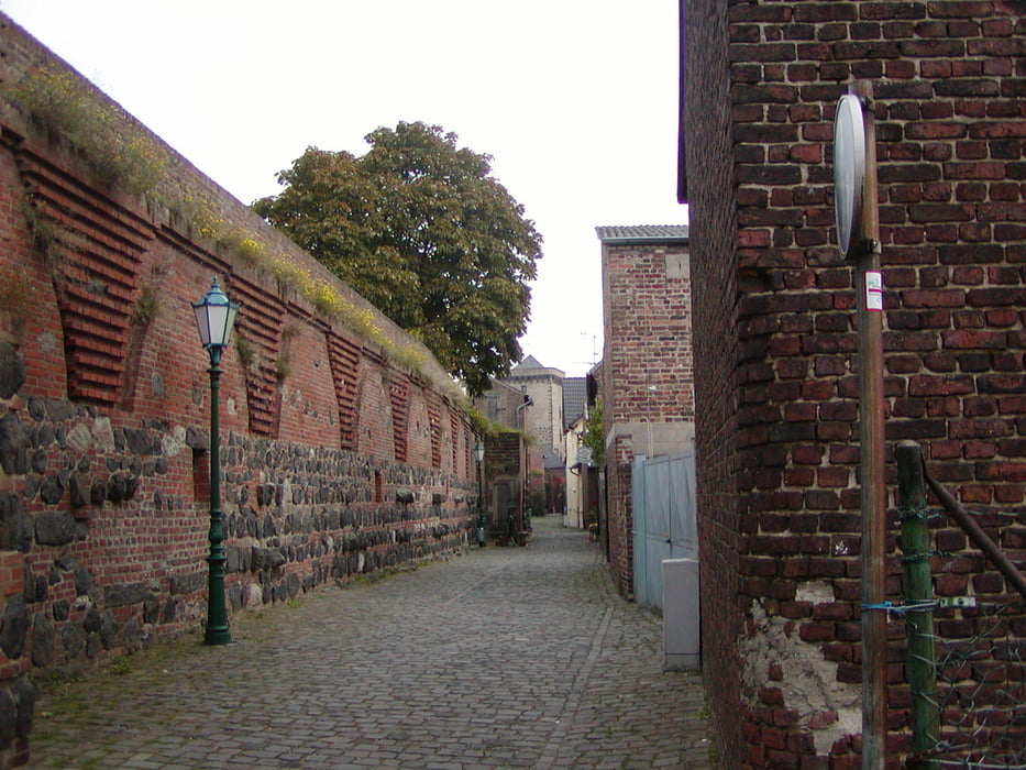
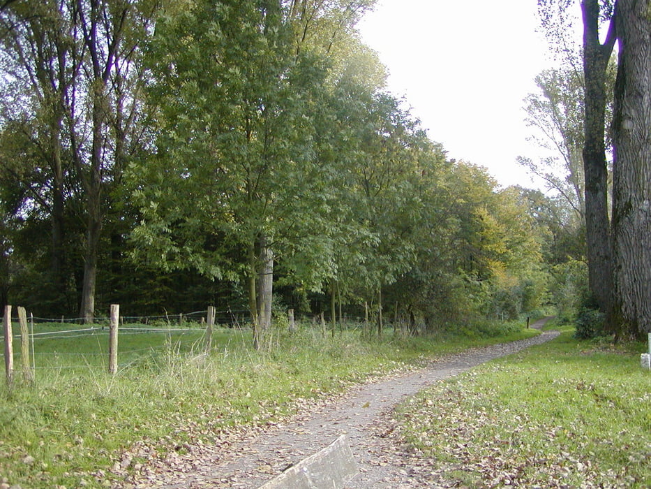
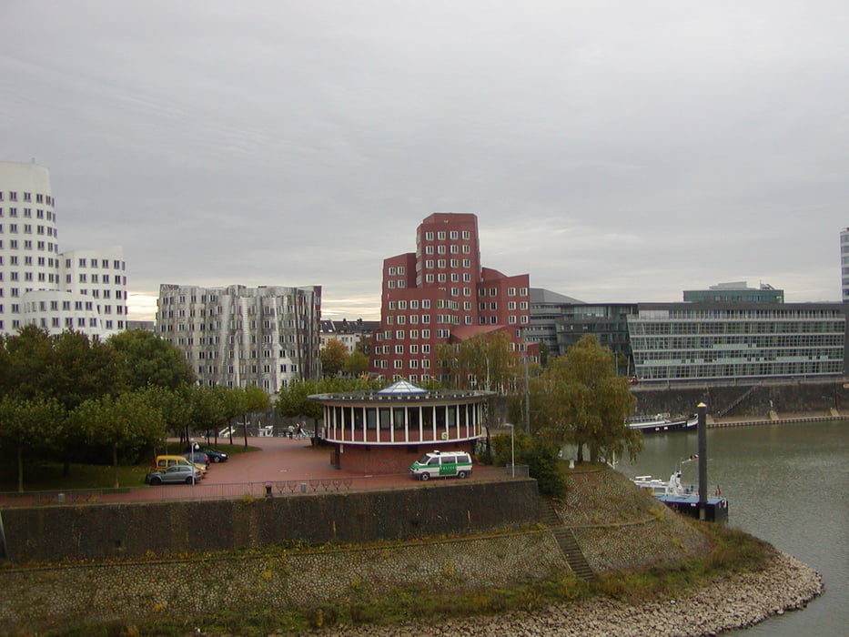
Vom Kölner Hauptbahnhof an den Rhein. Linksrheinisch bis Zons. In Zons mit der Fähre über den Rhein. Rechtsrheinisch durch Düsseldorf, Kaiserswerth bis Wittlar. Über Bilkrath, Rahm und der Wedau durch Duisburg bis Ruhrort. Von dort am Rhein entlang bis Walsum. Die Wege sind ausschließlich asphaltiert bzw. befestigt und lassen sich auch bei schlechtem Wetter gut befahren.

galéria trás

Mapa trasy a výškový profil

  • Open Street Map
  • Google
Minimum height -56 m Maximum height 94 m Detailný pohľad

More about the tour author

prabodh
Member since 2010

Send private message

komentáre

GPS trasy

Trackpoints
  • GPX / Garmin Map Source (gpx) download
  • TCX / Garmin Training Center® (tcx) download
  • CRS / Garmin Training Center® (crs) download
  • Google Earth (kml) download
  • G7ToWin (g7t) download
  • TTQV (trk) download
  • Overlay (ovl) download
  • Fugawi (txt) download
  • Kompass (DAV) Track (tk) download
  • list trasy (pdf) download
  • Original file of the author (gpx) download

More about the tour author

prabodh
Member since 2010

Send private message
Share track
Add to my favorites
Remove from my favorites
Edit tags
My score
Rate
trasa: Von Köln über Zons und Düsseldorf nach Duisburg
Druh: trekingové bicykle
Dĺžka: 106,3 km
Evaluated on:
Doba:
Day(s)
Hour(s)
Minute(s)
ohodnotenie: Kraj pôžitok z túry kondícia technika