Login

Zabudli ste prihlasovacia meno

Cookies have to be accepted!
Your browser's cookie functionality is disabled. Please enable this functionality.

Not a member yet?

Register now
Login

Available for registred users only

Log in to use this feature.

Zabudli ste prihlasovacia meno

Cookies have to be accepted!
Your browser's cookie functionality is disabled. Please enable this functionality.

Not a member yet?

Register now
Filter
Kategórie
Advanced filters
  • Dĺžka (km)
  • výškomer
Uložiť filter Reset filter

TrackRank

QRCode

Technical data

Dĺžka51,3 km výškomer740 m Way down722 m Doba03:30 h:m dátum26.10.2010
ohodnotenia Author Kraj pôžitok z túry kondícia technika

štatistika

200 náhľady ohodnotenia 11 Stiahnutia priemer
Rate
  • list trasy
  • príjazd
  • Stiahnutia
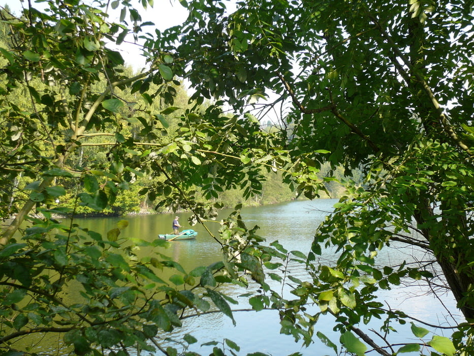
Diese Tour bin ich so in Wirklichkeit nicht gefahren, sondern habe über MagicMaps die Tour so als Route angelegt. Natürlich habe ich alle Wege (so oder mit geringfügigen Abweichungen) in "natura" gefahren, so dass meine Bewertung auf Kenntnisse über das Gebiet beruht.

galéria trás

Mapa trasy a výškový profil

  • Open Street Map
  • Google
Minimum height 215 m Maximum height 427 m Detailný pohľad

More about the tour author

neuser
Member since 2010

Send private message

komentáre

GPS trasy

Trackpoints
  • GPX / Garmin Map Source (gpx) download
  • TCX / Garmin Training Center® (tcx) download
  • CRS / Garmin Training Center® (crs) download
  • Google Earth (kml) download
  • G7ToWin (g7t) download
  • TTQV (trk) download
  • Overlay (ovl) download
  • Fugawi (txt) download
  • Kompass (DAV) Track (tk) download
  • list trasy (pdf) download
  • Original file of the author (gpx) download

More about the tour author

neuser
Member since 2010

Send private message
Share track
Add to my favorites
Remove from my favorites
Edit tags
My score
Rate
trasa: Fiktiv zur Obersten Mühle
Druh: horský bicykel
Dĺžka: 51,3 km
Evaluated on:
Doba:
Day(s)
Hour(s)
Minute(s)
ohodnotenie: Kraj pôžitok z túry kondícia technika