


22.10.2010
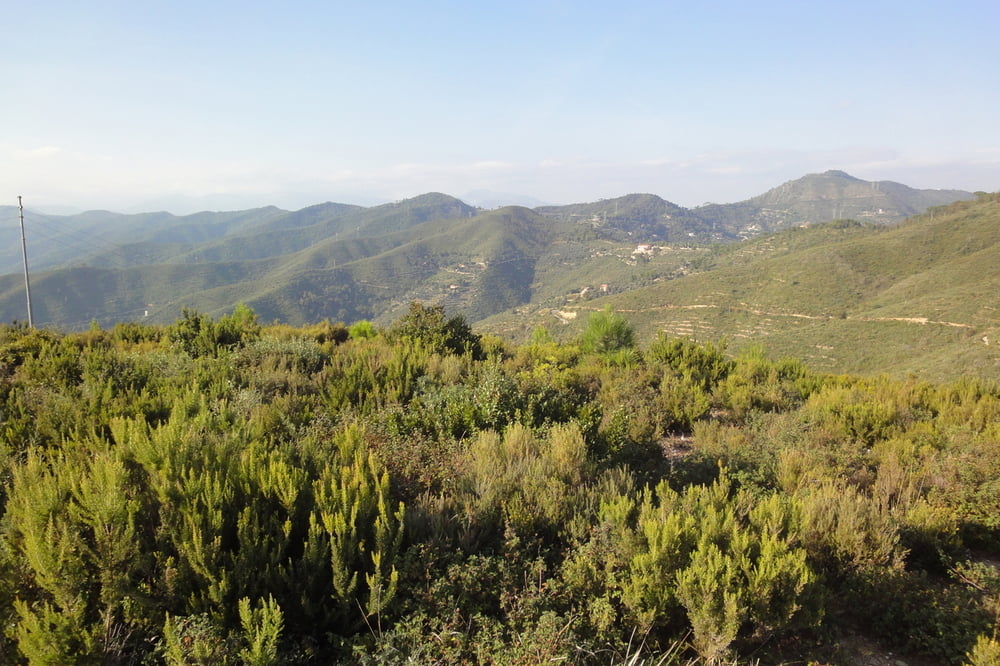
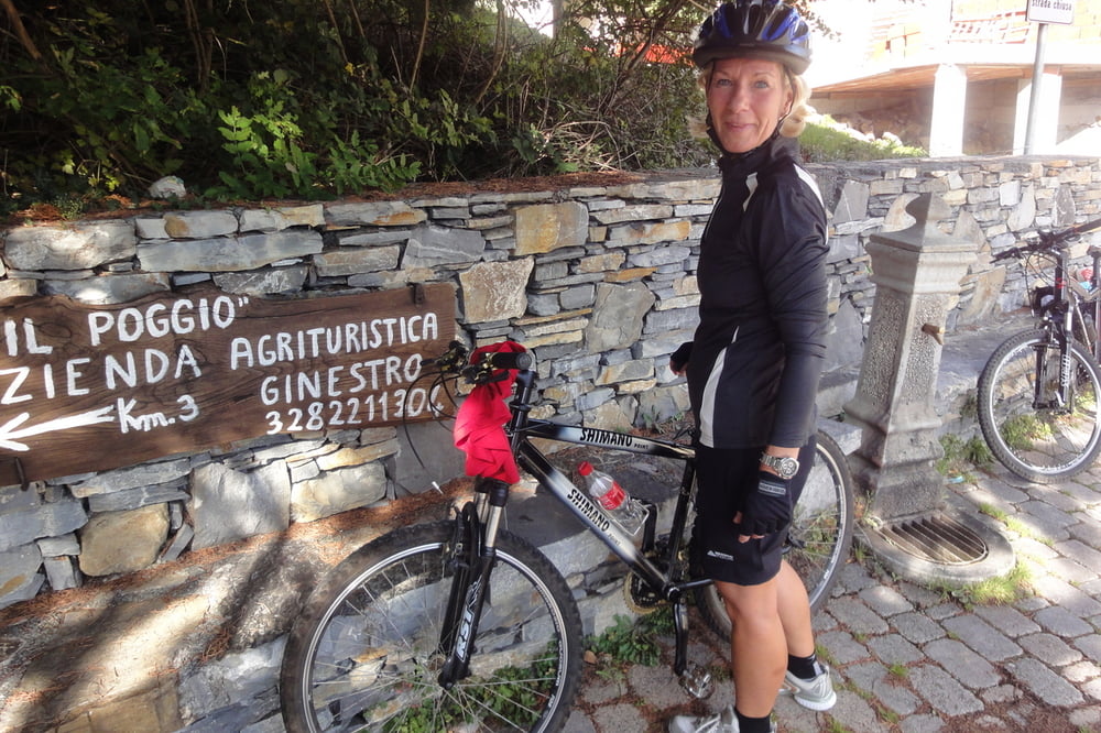
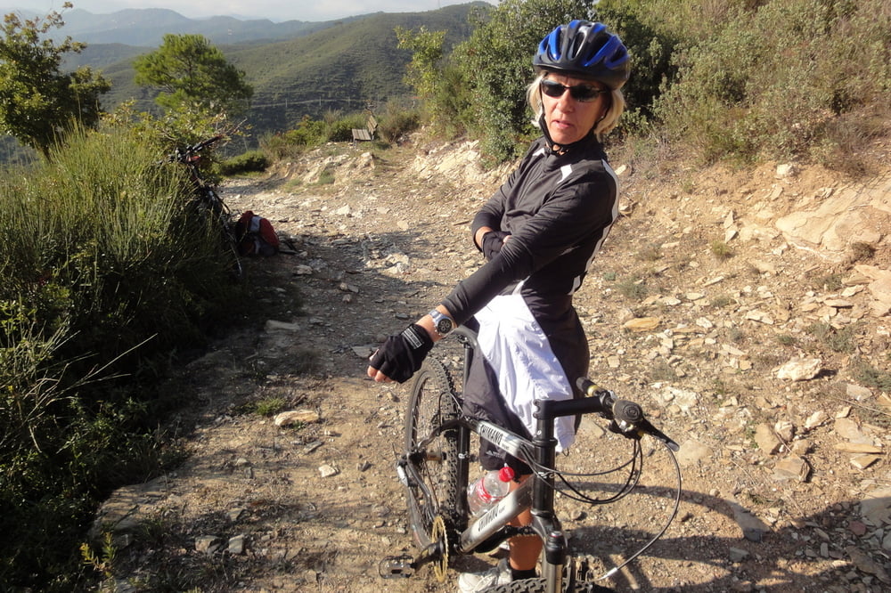
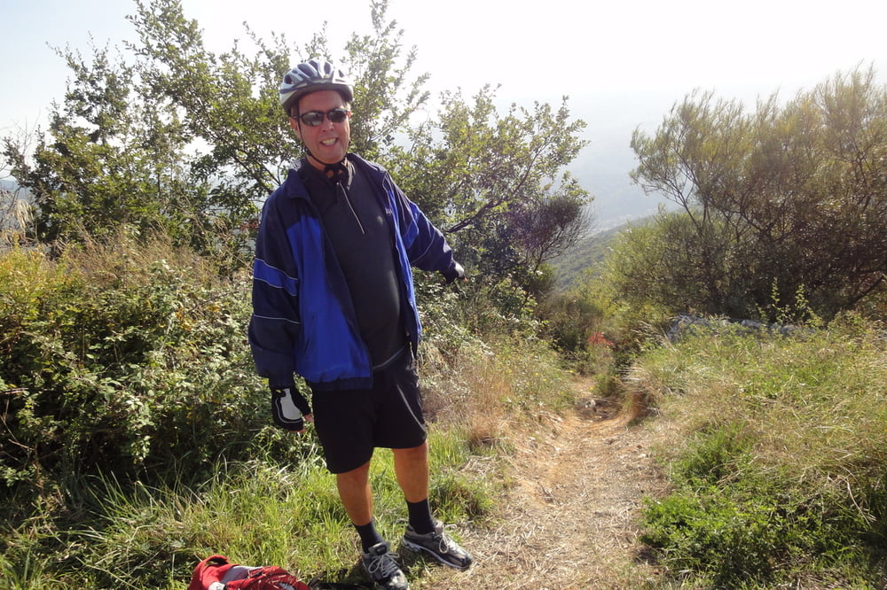
Von Bossaneto aus nach Testico, dann den Höhenweg Richtung Alassio. Der erste von mir im Internet gefundene Weg talwärts Richtung Andora war ein sehr steiler Wanderpfad. Definitiv nicht fahrbar. Dann eine bekannte Wanderstrecke Richtung Andora und Colla Micheri entlang. diese Strecke ist für Mountainbiker sehr geeignet. Wir mussten zwar einen Teil schieben, trotzdem sehr schöne Strecke.
La prima strada da giu era solo un sentiero. Ma la seconda un bellissima via a Andora.
galéria trás
Mapa trasy a výškový profil
Minimum height -10 m
Maximum height 483 m
More about the tour author
|
|
GuenterM |
komentáre

GPS trasy
Trackpoints-
GPX / Garmin Map Source (gpx) download
-
TCX / Garmin Training Center® (tcx) download
-
CRS / Garmin Training Center® (crs) download
-
Google Earth (kml) download
-
G7ToWin (g7t) download
-
TTQV (trk) download
-
Overlay (ovl) download
-
Fugawi (txt) download
-
Kompass (DAV) Track (tk) download
-
list trasy (pdf) download
-
Original file of the author (gpx) download
More about the tour author
|
|
GuenterM |
Add to my favorites
Remove from my favorites
Edit tags
Open track
My score
Rate