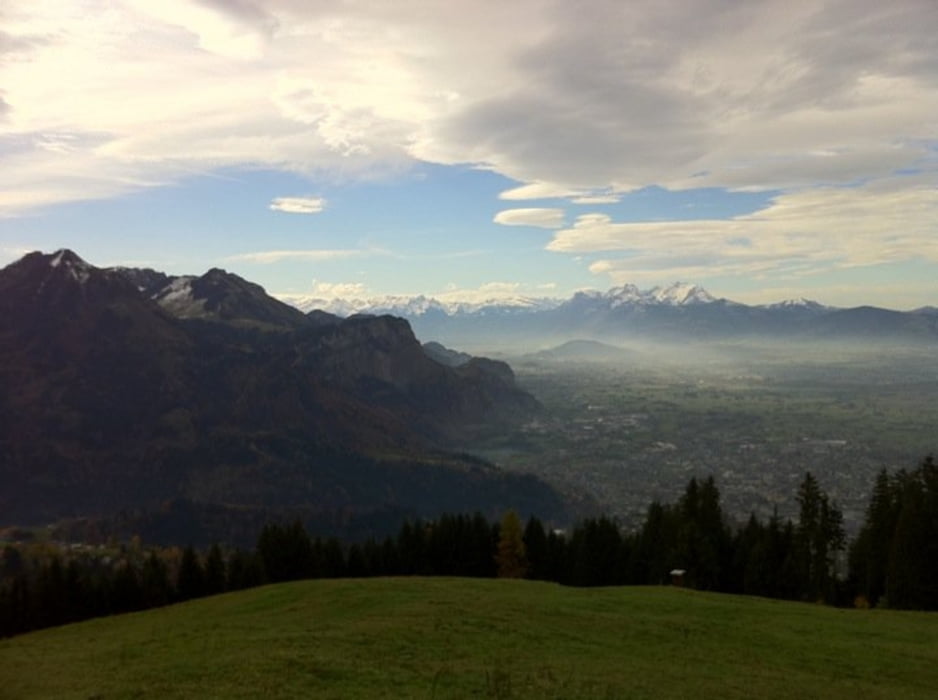
Schöne Tour mit schöner Aussicht über das ganze Rheintal mit Bodensee. Sehr steile Abschnitte bringen auch den erfahrenen Biker zum Schwitzen.Rasante Abfahrten begleiten einen auf der ganzen Tour. Für Speis und Trank sorgt die schöne Schwendealpe. Geöffnet von den ersten warmen Tagen bis November.
galéria trás
Mapa trasy a výškový profil
Minimum height 401 m
Maximum height 1296 m
komentáre

Marktplatz Dornbirn - Mohren Brauerei richtung Bödele - Abzweigung Rechts Richtung Steinebach/Kehlegg.
GPS trasy
Trackpoints-
GPX / Garmin Map Source (gpx) download
-
TCX / Garmin Training Center® (tcx) download
-
CRS / Garmin Training Center® (crs) download
-
Google Earth (kml) download
-
G7ToWin (g7t) download
-
TTQV (trk) download
-
Overlay (ovl) download
-
Fugawi (txt) download
-
Kompass (DAV) Track (tk) download
-
list trasy (pdf) download
-
Original file of the author (gpx) download
Add to my favorites
Remove from my favorites
Edit tags
Open track
My score
Rate


