
")

Tourstart Kipsdorf Bahnhofsplatz, an der Kirche vorbei in Richtung
Oberbärenburg Tellkoppe, am Ortsrand von Oberbärenburg entlang Richtung
Bobbahn. Diese fahren wir vom mittleren Eingang bis in den Startbereich, danach wird links entlang dem Zaun auf einen schmalen Trail Richtung Altenberg abgebogen. Nach einigen hundert Metern Überquerung der Bundesstraße kurzes Asphaltstück in Richtung Schellerhau, am Galgenteich entlang in Richtung Biathlonarena nach Zinnwald.
Danach zum Kahleberg mit einem anspruchsvollen Singletrail hinab ins Tal
vorbei an der Rehaklinik Raupennest in Richtung Schellerhau wo uns schöne
Wurzeltrails erwarten, danach geht es links eine Asphaltstraße hinauf in den
Ort über die Wiese auf den Kamm. Rechts entlang der Loipenspur vorbei an der
Stephanshöhe, dem Skilift Rotter in Richtung Bärenfels wo uns eine schöne
Abfahrt in Richtung Kipsdorf erwartet, Ziel Kipsdorf Bahnhofsplatz.
Empfehlung zum einkehren, Eiscafe Sartor Bärenfels, Gasthof Bärenfels,
Bärenfelser Stübl mit sehr schönem Biergarten.
Kipsdorf: Hickmann`s Stübl
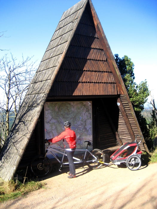
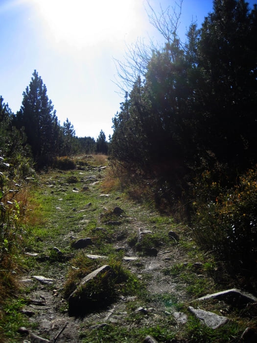
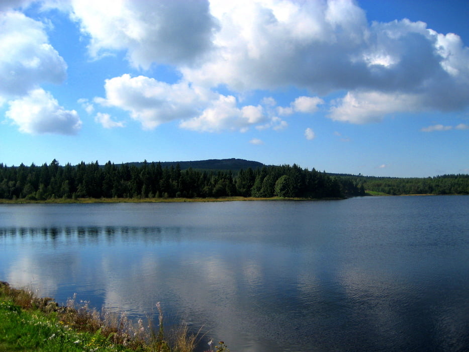
galéria trás
Mapa trasy a výškový profil
Minimum height 477 m
Maximum height 906 m
More about the tour author
|
|
FreundDerSonne |
komentáre

Von Dresden kommend die B170 Richtung Altenberg. Dieser folgen bis Kipsdorf Bahnhof.
GPS trasy
Trackpoints-
GPX / Garmin Map Source (gpx) download
-
TCX / Garmin Training Center® (tcx) download
-
CRS / Garmin Training Center® (crs) download
-
Google Earth (kml) download
-
G7ToWin (g7t) download
-
TTQV (trk) download
-
Overlay (ovl) download
-
Fugawi (txt) download
-
Kompass (DAV) Track (tk) download
-
list trasy (pdf) download
-
Original file of the author (gpx) download
More about the tour author
|
|
FreundDerSonne |
Add to my favorites
Remove from my favorites
Edit tags
Open track
My score
Rate