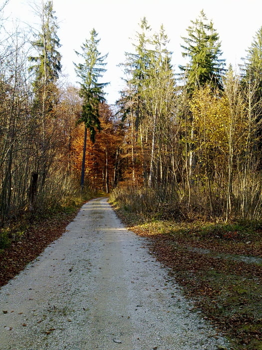
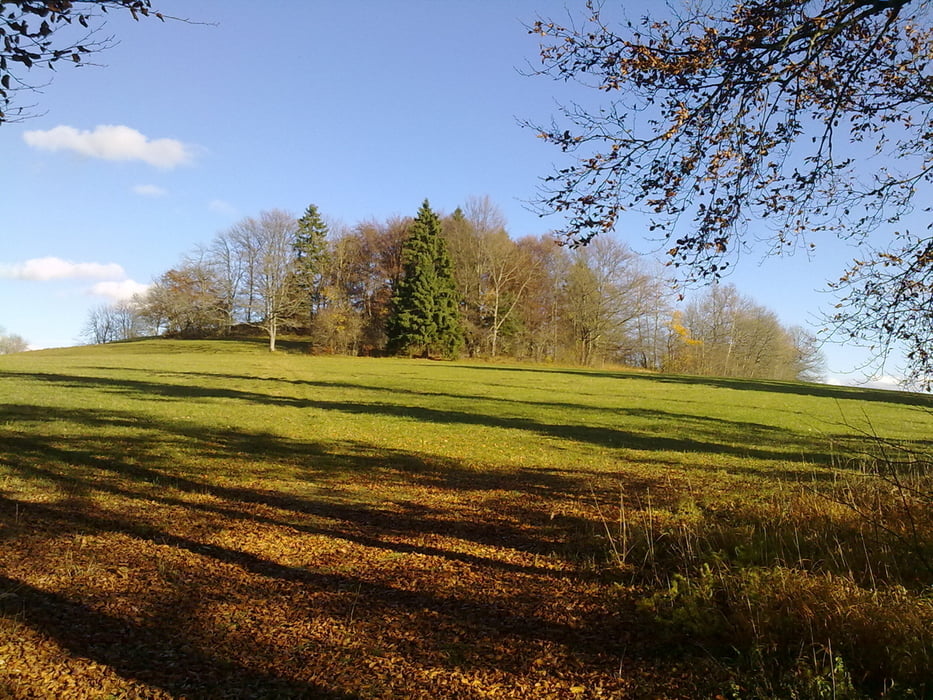
Login

Zabudli ste prihlasovacia meno

Cookies have to be accepted!
Your browser's cookie functionality is disabled. Please enable this functionality.

Not a member yet?

Register now
Login

Available for registred users only

Log in to use this feature.

Zabudli ste prihlasovacia meno

Cookies have to be accepted!
Your browser's cookie functionality is disabled. Please enable this functionality.

Not a member yet?

Register now
Filter
Kategórie
Advanced filters
  • Dĺžka (km)
  • výškomer
Uložiť filter Reset filter

TrackRank

QRCode

Technical data

Dĺžka34,4 km výškomer788 m Way down791 m Doba02:00 h:m dátum05.11.2010
ohodnotenia Author Kraj pôžitok z túry kondícia technika

štatistika

599 náhľady ohodnotenia 38 Stiahnutia priemer
Rate
  • list trasy
  • príjazd
  • Stiahnutia

Schöne Biketour,


Dreifaltigkeitsberg - Böttingen - Lippachtal - Mühlheim - Donautal - Nendingen - Ursental - Risiberg - Hirnbühl - Dreifaltigkeitsberg. 

Tour für Jedermann.

Wenn kein Schnee liegt, so ist die Tour immer zu empfehlen.

Further information at

http://www.donaubergland.de/

galéria trás

Mapa trasy a výškový profil

  • Open Street Map
  • Google
Minimum height 632 m Maximum height 998 m Detailný pohľad

More about the tour author

Tom19
Member since 2008

Send private message

komentáre


siehe Daten. 


Gestartet wir auf dem Dreifaltigkeitsberg, oberhalb von Spaichingen

GPS trasy

Trackpoints
  • GPX / Garmin Map Source (gpx) download
  • TCX / Garmin Training Center® (tcx) download
  • CRS / Garmin Training Center® (crs) download
  • Google Earth (kml) download
  • G7ToWin (g7t) download
  • TTQV (trk) download
  • Overlay (ovl) download
  • Fugawi (txt) download
  • Kompass (DAV) Track (tk) download
  • list trasy (pdf) download
  • Original file of the author (gpx) download

More about the tour author

Tom19
Member since 2008

Send private message
Share track
Add to my favorites
Remove from my favorites
Edit tags
My score
Rate
trasa: Schwäbische Alb, Heuberg, Dreifaltigkeitsberg
Druh: horský bicykel
Dĺžka: 34,4 km
Evaluated on:
Doba:
Day(s)
Hour(s)
Minute(s)
ohodnotenie: Kraj pôžitok z túry kondícia technika