Login

Zabudli ste prihlasovacia meno

Cookies have to be accepted!
Your browser's cookie functionality is disabled. Please enable this functionality.

Not a member yet?

Register now
Login

Available for registred users only

Log in to use this feature.

Zabudli ste prihlasovacia meno

Cookies have to be accepted!
Your browser's cookie functionality is disabled. Please enable this functionality.

Not a member yet?

Register now
Filter
Kategórie
Advanced filters
  • Dĺžka (km)
  • výškomer
Uložiť filter Reset filter

TrackRank

QRCode

Technical data

Dĺžka14,0 km výškomer623 m Way down634 m Doba03:10 h:m dátum07.11.2010
ohodnotenia Author Kraj pôžitok z túry kondícia technika

štatistika

713 náhľady ohodnotenia 45 Stiahnutia priemer
Rate
  • list trasy
  • príjazd
  • Stiahnutia

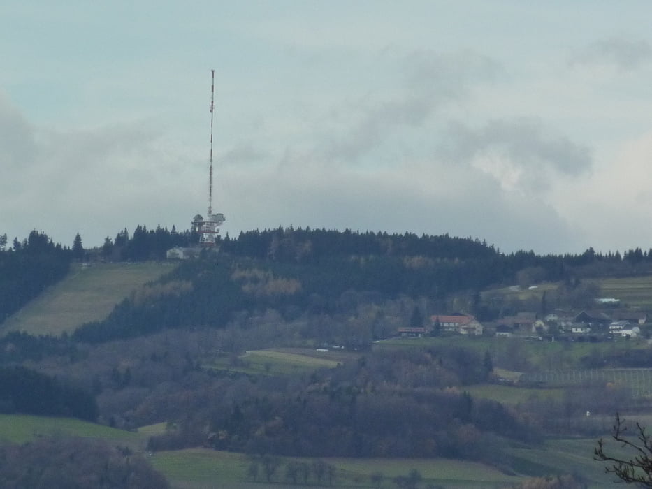
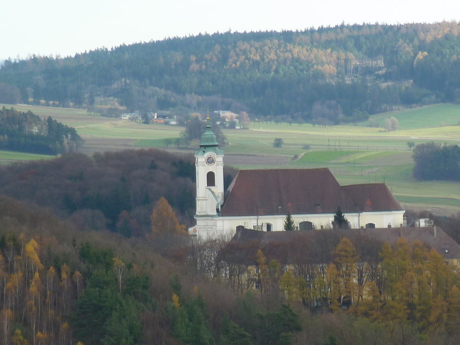
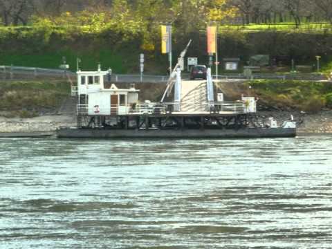
Von Spitz mit der Rollfähre über die Donau nach Arnsdorf. Dann steil hinauf in den Dunkelsteiner Wald - vorbei an der Burgruine Aggstein. Dann geht es hinunter zur Donau und nochmals über einen Höhenrücken ins Aggsbach Dorf bis zur Bushaltestelle Gemeindeamt.


galéria trás

Mapa trasy a výškový profil

  • Open Street Map
  • Google
Minimum height 218 m Maximum height 673 m Detailný pohľad

More about the tour author

rail-com

komentáre

Mit der Bahn bis Melk und dann weiter mit dem Bus (Schienenersatzverkehr) bis Spitz.

GPS trasy

Trackpoints
  • GPX / Garmin Map Source (gpx) download
  • TCX / Garmin Training Center® (tcx) download
  • CRS / Garmin Training Center® (crs) download
  • Google Earth (kml) download
  • G7ToWin (g7t) download
  • TTQV (trk) download
  • Overlay (ovl) download
  • Fugawi (txt) download
  • Kompass (DAV) Track (tk) download
  • list trasy (pdf) download
  • Original file of the author (gpx) download

More about the tour author

rail-com

Share track
Add to my favorites
Remove from my favorites
Edit tags
My score
Rate
trasa: Nord - Süd Weitwanderweg 05: 007 Spitz - Aggsbach Dorf
Druh: trasa
Dĺžka: 14,0 km
Evaluated on:
Doba:
Day(s)
Hour(s)
Minute(s)
ohodnotenie: Kraj pôžitok z túry kondícia technika