Login

Zabudli ste prihlasovacia meno

Cookies have to be accepted!
Your browser's cookie functionality is disabled. Please enable this functionality.

Not a member yet?

Register now
Login

Available for registred users only

Log in to use this feature.

Zabudli ste prihlasovacia meno

Cookies have to be accepted!
Your browser's cookie functionality is disabled. Please enable this functionality.

Not a member yet?

Register now
Filter
Kategórie
Advanced filters
  • Dĺžka (km)
  • výškomer
Uložiť filter Reset filter

TrackRank

QRCode

Technical data

Dĺžka33,8 km výškomer1060 m Way down1044 m Doba02:30 h:m dátum07.11.2010
ohodnotenia Author Kraj pôžitok z túry kondícia technika

štatistika

219 náhľady ohodnotenia 17 Stiahnutia priemer
Rate
  • list trasy
  • príjazd
  • Stiahnutia

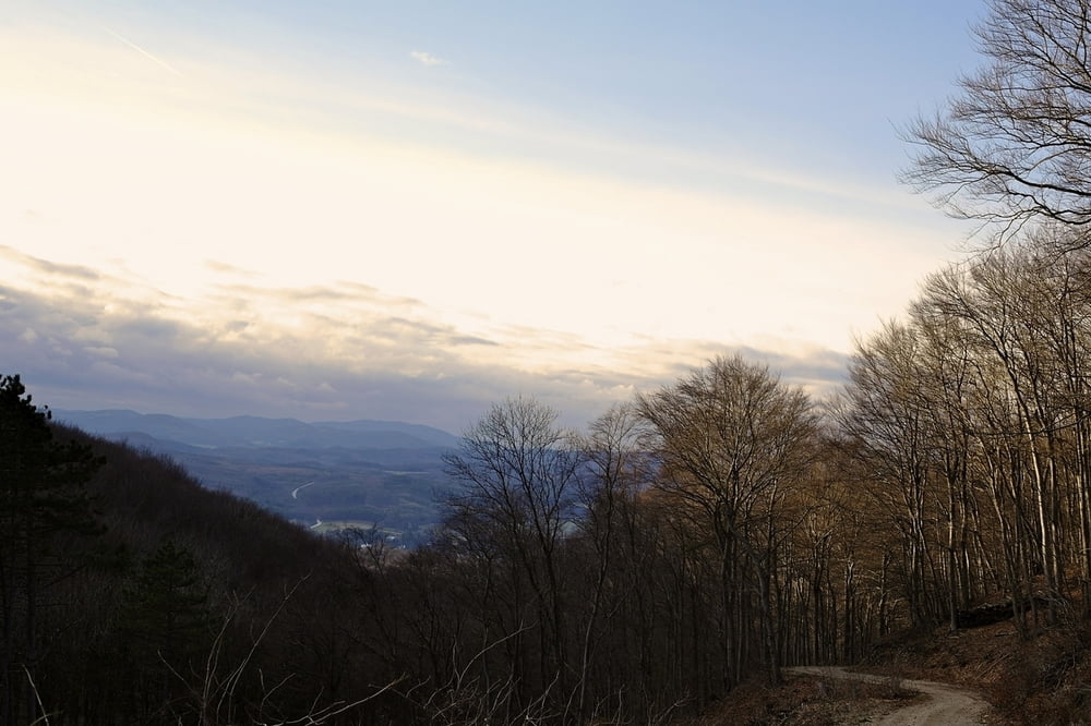
 Nette 2-3 Stundentour durch den Wienerwald

Ausgangspunkt: Guntramsdorf - Anninger - Gaaden - Siegenfeld - Anninger - Guntramsdorf
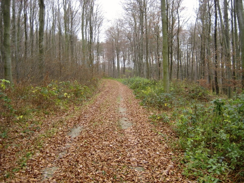
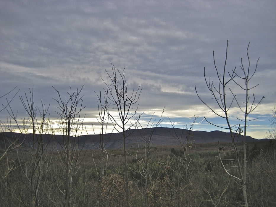
galéria trás

Mapa trasy a výškový profil

  • Open Street Map
  • Google
Minimum height 181 m Maximum height 656 m Detailný pohľad

More about the tour author

funkyFalco
Member since 2009

Send private message

komentáre

 Guntramsdorf ( auch mit S-Bahn, Badener Bahn von Wien erreichbar)

GPS trasy

Trackpoints
  • GPX / Garmin Map Source (gpx) download
  • TCX / Garmin Training Center® (tcx) download
  • CRS / Garmin Training Center® (crs) download
  • Google Earth (kml) download
  • G7ToWin (g7t) download
  • TTQV (trk) download
  • Overlay (ovl) download
  • Fugawi (txt) download
  • Kompass (DAV) Track (tk) download
  • list trasy (pdf) download
  • Original file of the author (gpx) download

More about the tour author

funkyFalco
Member since 2009

Send private message
Share track
Add to my favorites
Remove from my favorites
Edit tags
My score
Rate
trasa: Siegenfeld Runde
Druh: horský bicykel
Dĺžka: 33,8 km
Evaluated on:
Doba:
Day(s)
Hour(s)
Minute(s)
ohodnotenie: Kraj pôžitok z túry kondícia technika