


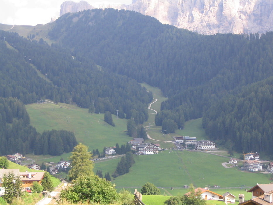
Die Tour geht von der Mittelstation der Seceda-Bahn über die Brogleshütte durch die Parnascharte auf den Seceda. Vom Gipfel wandern man immer seicht bergab nach Wolkenstein und nimmt dann den Bus zurück nach St. Ulrich.
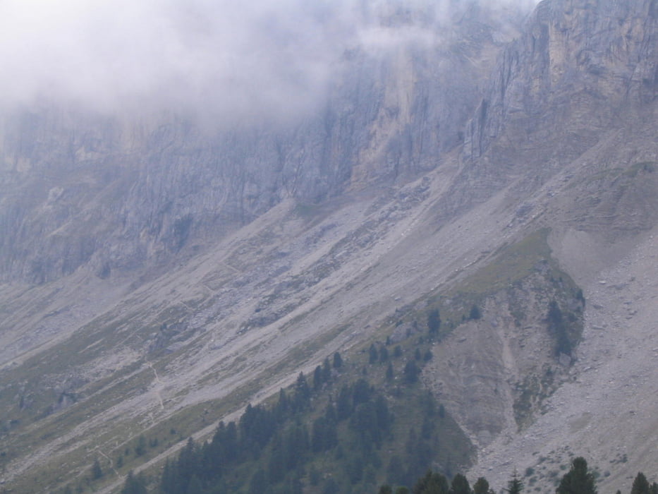
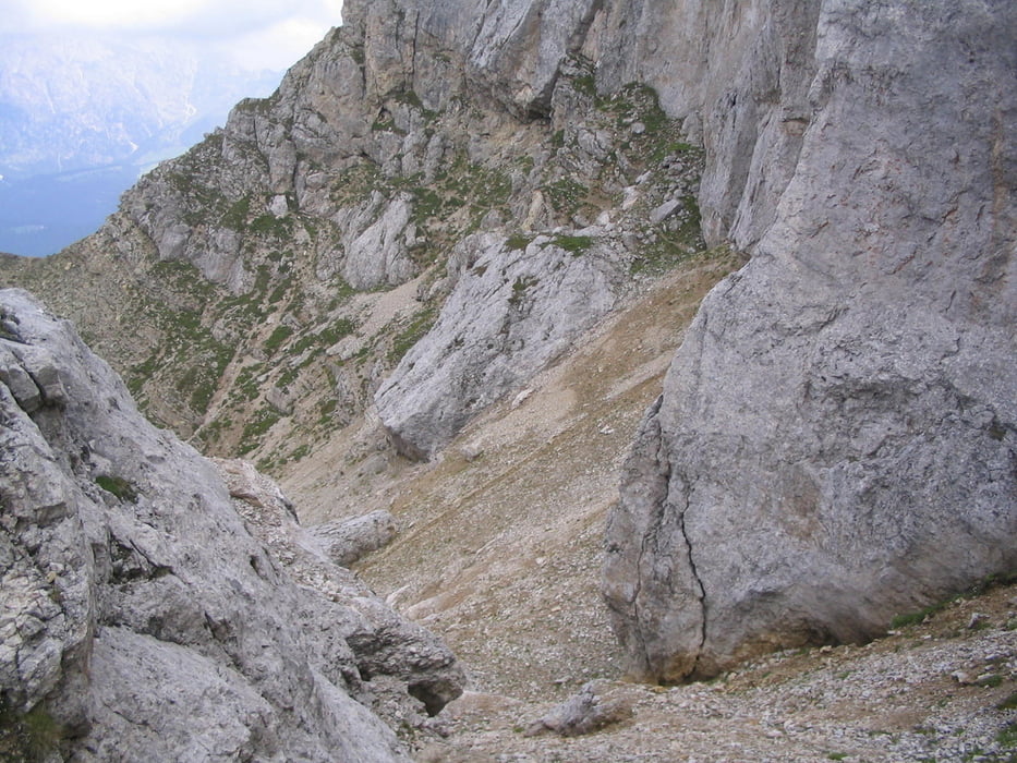
Die Wanderung ist bis auf den anspruchsvollen Durchstieg des Geröllfelds in die Scharte und den drahtseilversicherten Ausstieg aus der Scharte technisch nicht schwierig. Sie bedarf aber auf Grund der Länge und der Höhenmeter einiger Kondition.
Verpflegungsstationen sind, sofern jahreszeit bedingt offen, vorhanden. Im Geröllfeld sind Stöcke sehr empfehlenswert.
galéria trás
Mapa trasy a výškový profil
Minimum height 1580 m
Maximum height 2425 m
More about the tour author

|
KnutTuareg |
komentáre

GPS trasy
Trackpoints-
GPX / Garmin Map Source (gpx) download
-
TCX / Garmin Training Center® (tcx) download
-
CRS / Garmin Training Center® (crs) download
-
Google Earth (kml) download
-
G7ToWin (g7t) download
-
TTQV (trk) download
-
Overlay (ovl) download
-
Fugawi (txt) download
-
Kompass (DAV) Track (tk) download
-
list trasy (pdf) download
-
Original file of the author (gpx) download
More about the tour author
|
|
KnutTuareg |
Add to my favorites
Remove from my favorites
Edit tags
Open track
My score
Rate