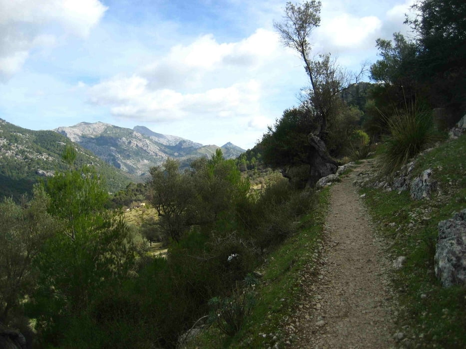
Die Tour beginnt an der Strasse von Alaro nach Orient. Man parkt den Wagen beim Hotel L'Hermitage.
Nun durch ein Gatter und anfangs am Hang entlang bis zum Beginn eines Waldes. Nun geht es steil hinauf über Pfade zum Pla des Pouet. Von dort weiter über gepflasterte Wege zum Castello und anschließend zum Gipfel des Puig d'Alaro.
Auf dem gleichen Weg zurück
galéria trás
Mapa trasy a výškový profil
Minimum height 495 m
Maximum height 807 m
komentáre

GPS trasy
Trackpoints-
GPX / Garmin Map Source (gpx) download
-
TCX / Garmin Training Center® (tcx) download
-
CRS / Garmin Training Center® (crs) download
-
Google Earth (kml) download
-
G7ToWin (g7t) download
-
TTQV (trk) download
-
Overlay (ovl) download
-
Fugawi (txt) download
-
Kompass (DAV) Track (tk) download
-
list trasy (pdf) download
-
Original file of the author (gpx) download
Add to my favorites
Remove from my favorites
Edit tags
Open track
My score
Rate


