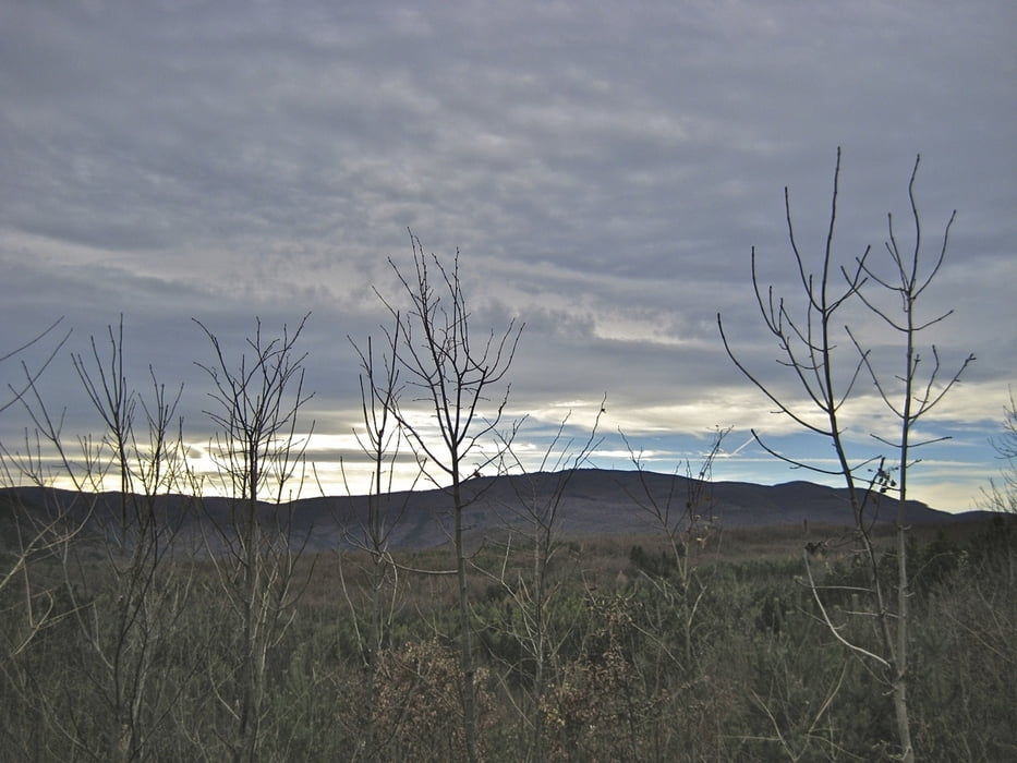
Variante 3
Von Guntramsdorf am Wr. Neustädter Kanal nach Baden, durchs Helenental bis Augustinerhütte, von dort auf den Hohen Lindkogel (Eisernes Tor, 834 m) und retour
Mapa trasy a výškový profil
Minimum height 193 m
Maximum height 841 m
komentáre

Guntramsdorf - B17 od. A2 auch mit Badener Bahn, S-Bahn erreichbar
GPS trasy
Trackpoints-
GPX / Garmin Map Source (gpx) download
-
TCX / Garmin Training Center® (tcx) download
-
CRS / Garmin Training Center® (crs) download
-
Google Earth (kml) download
-
G7ToWin (g7t) download
-
TTQV (trk) download
-
Overlay (ovl) download
-
Fugawi (txt) download
-
Kompass (DAV) Track (tk) download
-
list trasy (pdf) download
-
Original file of the author (gpx) download
Add to my favorites
Remove from my favorites
Edit tags
Open track
My score
Rate

