
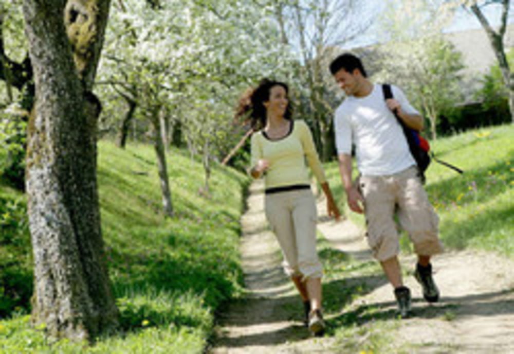

Schöne Wanderung in bäuerlicher Kulturlandschaft!
Eine Wanderung durch eine bäuerliche Landschaft mit schmalen Streifenfluren, hinauf zum Zwischenmühlrücken und hinab ins Tal der Großen Mühl.
Ausgangspunkt dieser Wanderung ist beim Rathaus in Ulrichsberg.
Weg Nr. 3
Fordern Sie unsere Wanderkarte um EUR 3,00 hier an: info@boehmerwald.at!
Oder rufen Sie uns einfach an: Infotelefon +43 5 7890 100.
Further information at
http://www.boehmerwald.atMapa trasy a výškový profil
Minimum height 558 m
Maximum height 843 m
More about the tour author
|
|
aigen-schlaegl |
komentáre

Mit dem Auto
ab Linz: B127 bis Rohrbach - Öpping - Aigen-Schlägl - Ulrichsberg
ab Passau: Grenzübergang Breitenberg - Klaffer - Ulrichsberg
ab Tschechien: Grenzübergang Zadni Zvonkova/Schöneben - Ulrichsberg
Mit der Bahn ab Linz-Mühlkreisbahnhof bis Aigen-Schlägl - weiter mit dem Bus bis Ulrichsberg http://www.oebb.at
GPS trasy
Trackpoints-
GPX / Garmin Map Source (gpx) download
-
TCX / Garmin Training Center® (tcx) download
-
CRS / Garmin Training Center® (crs) download
-
Google Earth (kml) download
-
G7ToWin (g7t) download
-
TTQV (trk) download
-
Overlay (ovl) download
-
Fugawi (txt) download
-
Kompass (DAV) Track (tk) download
-
list trasy (pdf) download
-
Original file of the author (gpx) download
More about the tour author
|
|
aigen-schlaegl |
Add to my favorites
Remove from my favorites
Edit tags
Open track
My score
Rate