Zur sanften Erkundung des „Hochwaldes“. Möglichkeit zur grenzüberschreitenden Tour.
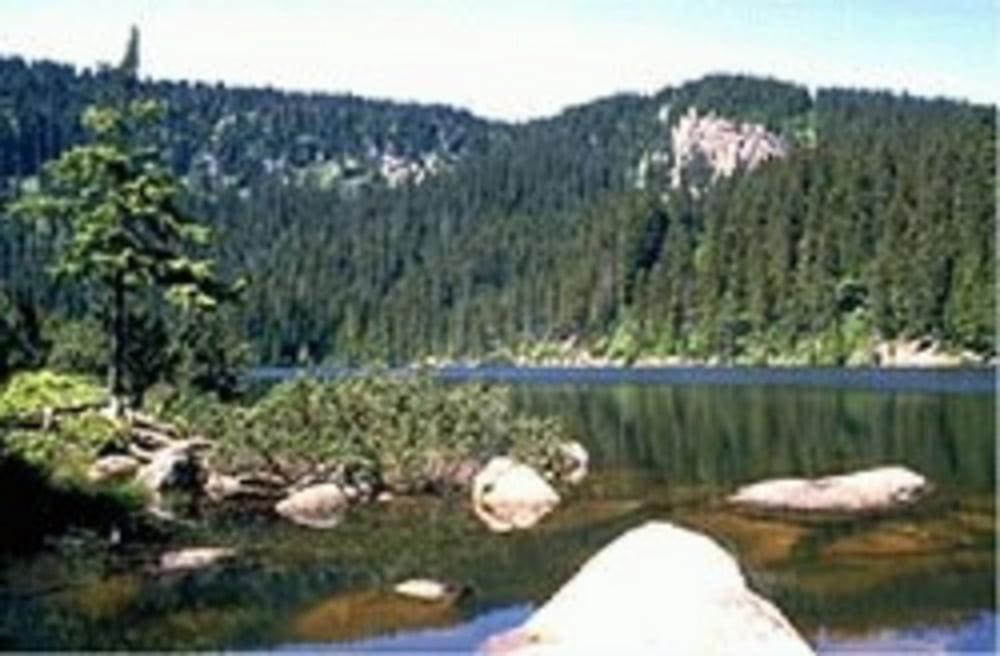
Unternehmen Sie auch einen Abstecher zum Plöckensteinersee!
Ausgangspunkt dieser Tour ist beim Landhotel Mühlböck in Schwarzenberg.
Weg Nr. 804
Fordern Sie unsere Radkarte um EUR 3,00 hier an: info@boehmerwald.at!
Oder rufen Sie uns einfach an: Infotelefon +43 5 7890 100.
Further information at
http://www.boehmerwald.atMapa trasy a výškový profil
Minimum height 723 m
Maximum height 1239 m
komentáre

GPS trasy
Trackpoints-
GPX / Garmin Map Source (gpx) download
-
TCX / Garmin Training Center® (tcx) download
-
CRS / Garmin Training Center® (crs) download
-
Google Earth (kml) download
-
G7ToWin (g7t) download
-
TTQV (trk) download
-
Overlay (ovl) download
-
Fugawi (txt) download
-
Kompass (DAV) Track (tk) download
-
list trasy (pdf) download
-
Original file of the author (gpx) download
Add to my favorites
Remove from my favorites
Edit tags
Open track
My score
Rate

