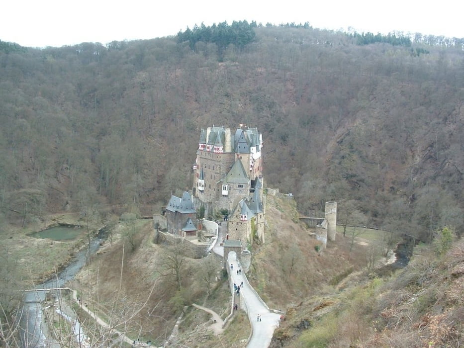
Fahrradtour vom Bahnhof in Mayen entlang einer stillgelegten Bahnstrecke bis Münstermaifeld. Von dort an der Burg Eltz vorbei nach Moselkern an der Mosel. Die Tour beginnt daher am Bahnhof Mayen-Ost. Sie endet am Bahnhof in Moselkern. Die Tour ist bis Münstermaifeld sehr flach. Danach führt die Tour teilweise über Straßen und es sind kleinere Steigungen zu überwinden.
Further information at
http://www.fahrradspass.de/Touren/Mapa trasy a výškový profil
Minimum height 99999 m
Maximum height -99999 m
komentáre

An- und Abreise erfolgen am besten mit der Bahn.
GPS trasy
Trackpoints-
GPX / Garmin Map Source (gpx) download
-
TCX / Garmin Training Center® (tcx) download
-
CRS / Garmin Training Center® (crs) download
-
Google Earth (kml) download
-
G7ToWin (g7t) download
-
TTQV (trk) download
-
Overlay (ovl) download
-
Fugawi (txt) download
-
Kompass (DAV) Track (tk) download
-
list trasy (pdf) download
-
Original file of the author (gpx) download
Add to my favorites
Remove from my favorites
Edit tags
Open track
My score
Rate


