
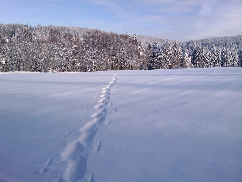

Die Tour beginnt am Fürstenstein-Parkplatz, links von der Strasse weg führt ein mit weißen W auf roten Grund gekennzeichneter Weg zum Fürstenstein. Von dort geht es dann ein gutes Stück auf dem S-Weg (schwarz auf gelb). Am Ende dieses Pfades führt der Weg hinab nach Beerfleck/Brandholz und von dort über den S-Weg hinauf über den Fürstenstein zum Parkplatz.
Dies ist eine leichte Tour, auch für Anfänger geeignet!
Viel Spass
galéria trás


Mapa trasy a výškový profil
Minimum height 593 m
Maximum height 752 m
More about the tour author
|
|
berndhuber |
komentáre

A9 Bayreuth Nord, Goldkronach/Brandholz/Goldberg
GPS trasy
Trackpoints-
GPX / Garmin Map Source (gpx) download
-
TCX / Garmin Training Center® (tcx) download
-
CRS / Garmin Training Center® (crs) download
-
Google Earth (kml) download
-
G7ToWin (g7t) download
-
TTQV (trk) download
-
Overlay (ovl) download
-
Fugawi (txt) download
-
Kompass (DAV) Track (tk) download
-
list trasy (pdf) download
-
Original file of the author (gpx) download
More about the tour author
|
|
berndhuber |
Add to my favorites
Remove from my favorites
Edit tags
Open track
My score
Rate