Login

Zabudli ste prihlasovacia meno

Cookies have to be accepted!
Your browser's cookie functionality is disabled. Please enable this functionality.

Not a member yet?

Register now
Login

Available for registred users only

Log in to use this feature.

Zabudli ste prihlasovacia meno

Cookies have to be accepted!
Your browser's cookie functionality is disabled. Please enable this functionality.

Not a member yet?

Register now
Filter
Kategórie
Advanced filters
  • Dĺžka (km)
  • výškomer
Uložiť filter Reset filter

TrackRank

QRCode

Technical data

Dĺžka5,9 km výškomer242 m Way down255 m Doba02:30 h:m dátum19.12.2010
ohodnotenia Author Kraj pôžitok z túry kondícia technika

štatistika

534 náhľady ohodnotenia 31 Stiahnutia priemer
Rate
  • list trasy
  • príjazd
  • Stiahnutia

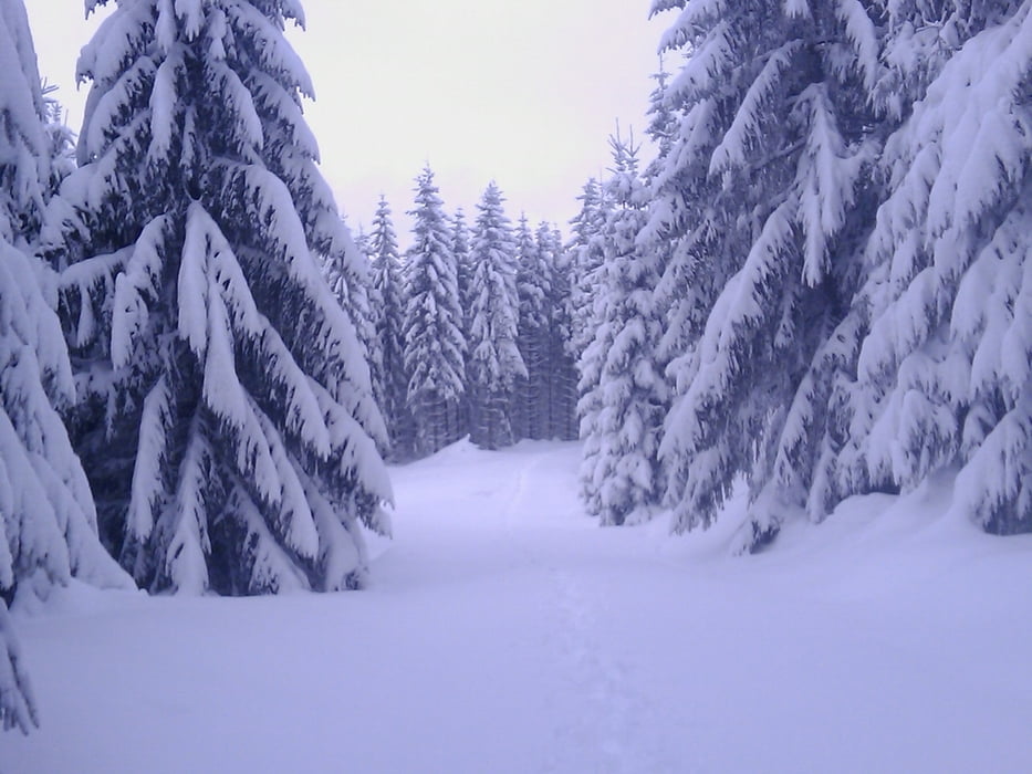
Die Tour beginnt und endet am Fürstensteinparkplatz/Goldkronach., sie verläuft auf Forstwegen die aber unter fast 1 Meter Schnee kaum zu erkennen waren.

Viel Spaß und Schnee!

galéria trás

Mapa trasy a výškový profil

  • Open Street Map
  • Google
Minimum height 632 m Maximum height 832 m Detailný pohľad

More about the tour author

berndhuber
Member since 2008

Send private message

komentáre

A9 Ausfahrt Bayreuth Nord, Goldkronach/Brandholz - Goldberg/Fürstenstein

GPS trasy

Trackpoints
  • GPX / Garmin Map Source (gpx) download
  • TCX / Garmin Training Center® (tcx) download
  • CRS / Garmin Training Center® (crs) download
  • Google Earth (kml) download
  • G7ToWin (g7t) download
  • TTQV (trk) download
  • Overlay (ovl) download
  • Fugawi (txt) download
  • Kompass (DAV) Track (tk) download
  • list trasy (pdf) download
  • Original file of the author (gpx) download

More about the tour author

berndhuber
Member since 2008

Send private message
Share track
Add to my favorites
Remove from my favorites
Edit tags
My score
Rate
trasa: Am Goldberg
Druh: snežnice
Dĺžka: 5,9 km
Evaluated on:
Doba:
Day(s)
Hour(s)
Minute(s)
ohodnotenie: Kraj pôžitok z túry kondícia technika