


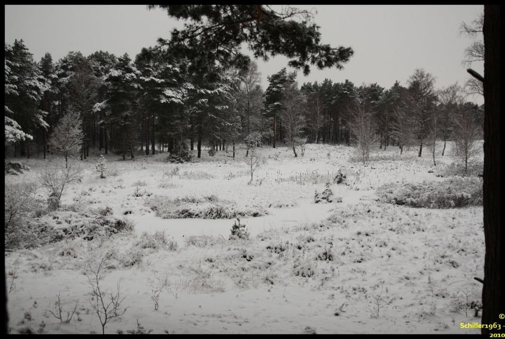
Schneechaos auf den Flughäfen. Das hat uns an diesem Wochenende doch gar nicht interessiert. Die Teverener Heide, direkt an der Nato Air Base Geilenkirchen gelegen, ist ein herrliches Naturschutzgebiet.
Wir haben hier eine spontane Umrundung des uns bisher noch nicht gekannten Gebietes gemacht. Im Sommer sind die jetzt zugefrorenen Flächen Seen und wir werden diese bestimmt zu einer anderen Jahreszeit nochmal besuchen kommen. Viele gute ausgebaute Wege und auch kleiner Wanderpfade mit tollen Ausblicken lohnen einen Ausflug hierhin.
Leider konnten wir aufgrund des Wetters auf dem zweiten Abschnitt der Tour keine Fotos mehr machen, sodass sich diese Fotos auf die erste Hälfte beziehen.
galéria trás


Mapa trasy a výškový profil
Minimum height 78 m
Maximum height 274 m
More about the tour author
|
|
Schiller1963 |
komentáre

Es gibt drei Parkplätze, diese sind als Wegpunkte in der Datei eingetragen.
GPS trasy
Trackpoints-
GPX / Garmin Map Source (gpx) download
-
TCX / Garmin Training Center® (tcx) download
-
CRS / Garmin Training Center® (crs) download
-
Google Earth (kml) download
-
G7ToWin (g7t) download
-
TTQV (trk) download
-
Overlay (ovl) download
-
Fugawi (txt) download
-
Kompass (DAV) Track (tk) download
-
list trasy (pdf) download
-
Original file of the author (gpx) download
More about the tour author
|
|
Schiller1963 |
Add to my favorites
Remove from my favorites
Edit tags
Open track
My score
Rate