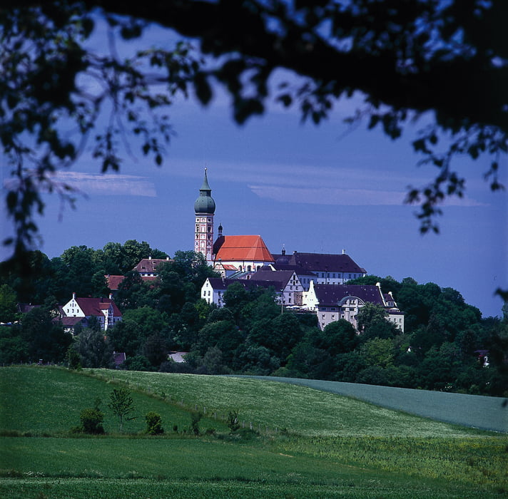
Vom Bahnhof Nord (S6) führt die Strecke auf wenig befahrenen Strassen über Söcking, Unering, Frieding nach Andechs. Bis dahin ca 18 km. Wer hier nicht einkehrt ist selbst Schuld. Dann führt der Weg auf dem Radweg Landstetten, Perchting, Söcking wieder zurück zum S-Bahnhof Starnberg Nord.
Mapa trasy a výškový profil
Minimum height 593 m
Maximum height 709 m
komentáre

GPS trasy
Trackpoints-
GPX / Garmin Map Source (gpx) download
-
TCX / Garmin Training Center® (tcx) download
-
CRS / Garmin Training Center® (crs) download
-
Google Earth (kml) download
-
G7ToWin (g7t) download
-
TTQV (trk) download
-
Overlay (ovl) download
-
Fugawi (txt) download
-
Kompass (DAV) Track (tk) download
-
list trasy (pdf) download
-
Original file of the author (gpx) download
Add to my favorites
Remove from my favorites
Edit tags
Open track
My score
Rate


