


Lange Tagestour mit reichlich Höhenmetern, wenn es im September kühler und ruhiger wird.
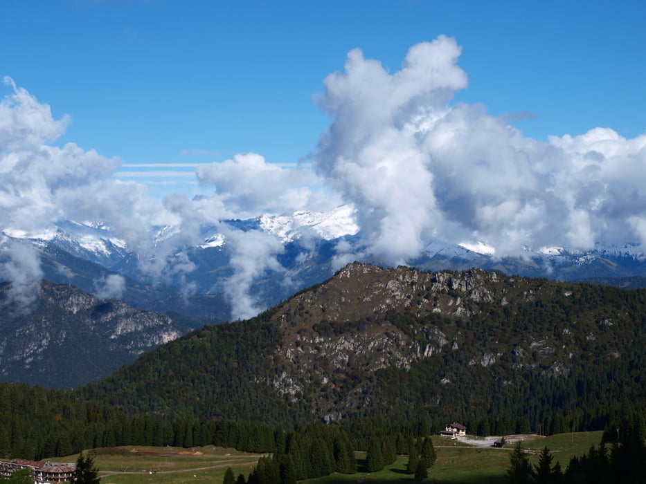
Von Pur am Ledrosee den prima Radweg zum Lago di Ampola. Der Asphalt nimmt der Auffahrt zum Refugio Garda den Schrecken und die letzten Meter bis zum Tunnel sind leicht zu fahren. Ein Genuss ist die folgende Abfahrt zum Passo Nota. Ruhig immer mal Anhalten und den herrlichen Ausblick bestaunen.
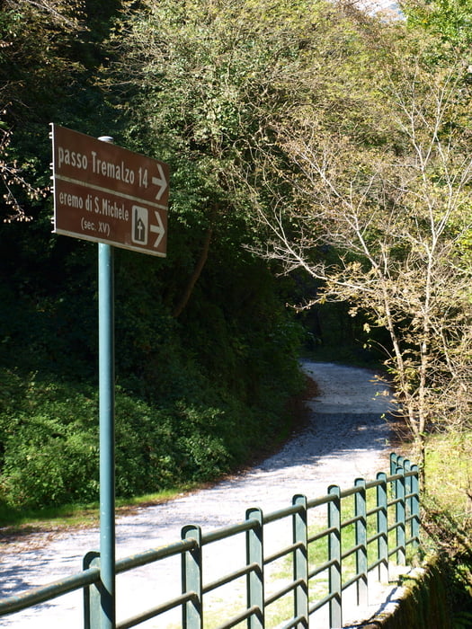
Unterhalb des Refugio Nota im Prinzip geradeaus. Die folgenden Höhenmeter bergauf werden mit einem traumhaften Trail hinunter nach Vesio belohnt. Nach Vesio rechts in Richtung Eremo di S. Michele abbiegen.
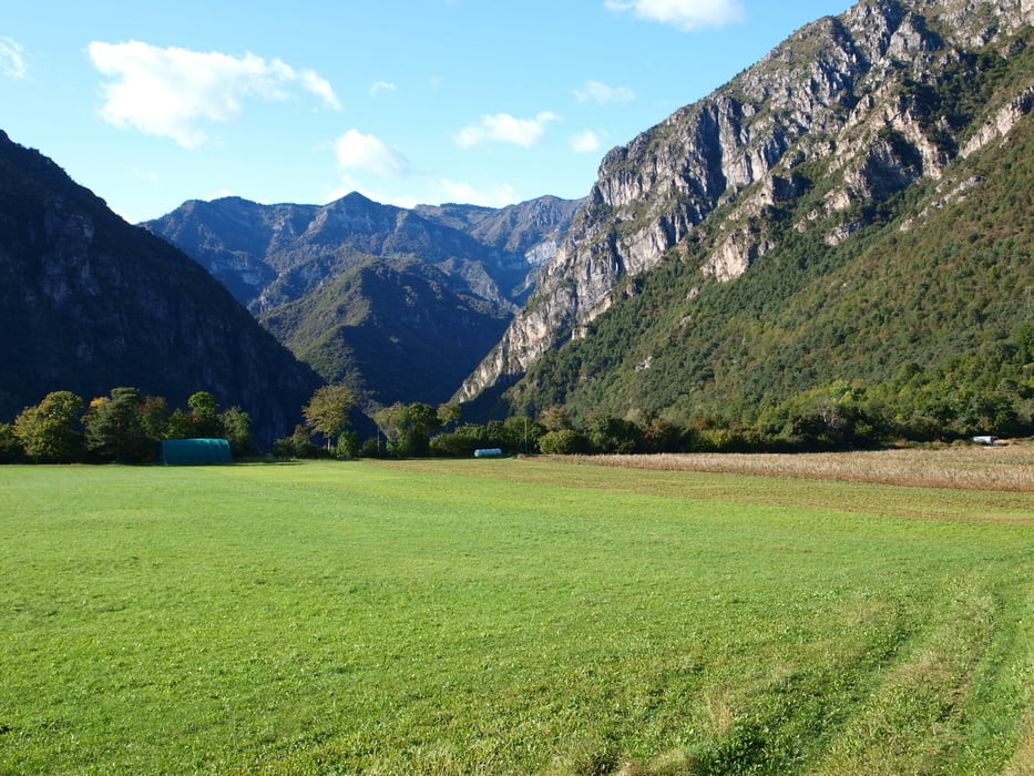
Vor der 2. Auffahrt zum Tremalzopass unbedingt die Trinkflaschen auffüllen, denn die Wasserstellen sind knapp und es geht ordentlich aufwärts. Der Weg ist steil aber auch bergauf durchweg sehr gut fahrbar.
Die Tour ist eine Zusammenfassung schöner Strecken und in dieser Richtung prima zu radeln. Eine Alternative zur Tremalzo-Abfahrt am Ende ist der Downhill Caset.
galéria trás

Mapa trasy a výškový profil
Minimum height 565 m
Maximum height 1834 m
More about the tour author

|
MohlsenBike |
komentáre

GPS trasy
Trackpoints-
GPX / Garmin Map Source (gpx) download
-
TCX / Garmin Training Center® (tcx) download
-
CRS / Garmin Training Center® (crs) download
-
Google Earth (kml) download
-
G7ToWin (g7t) download
-
TTQV (trk) download
-
Overlay (ovl) download
-
Fugawi (txt) download
-
Kompass (DAV) Track (tk) download
-
list trasy (pdf) download
-
Original file of the author (gpx) download
More about the tour author
|
|
MohlsenBike |
Add to my favorites
Remove from my favorites
Edit tags
Open track
My score
Rate