


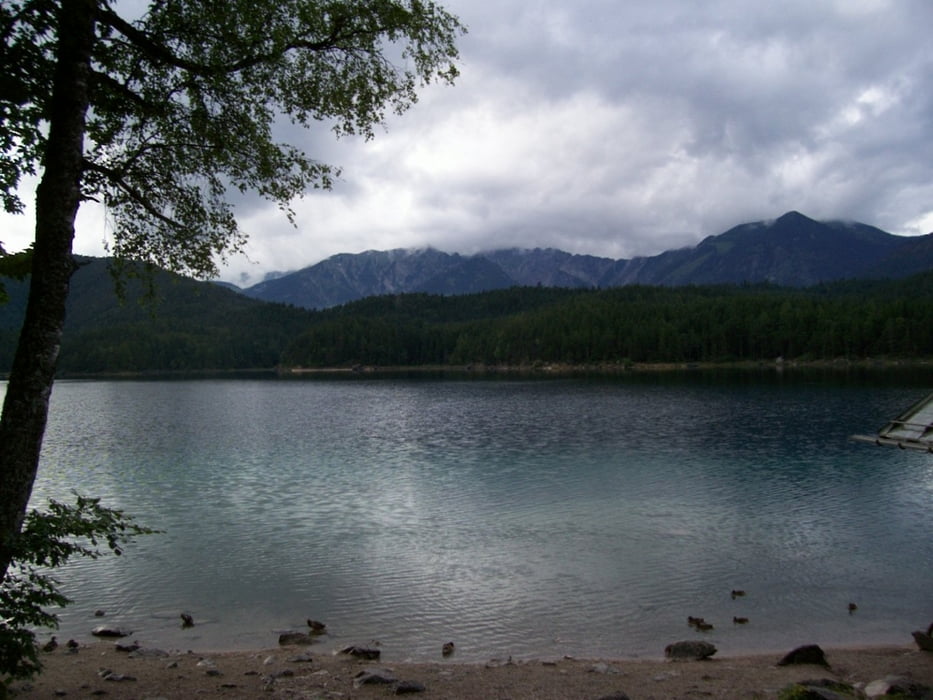
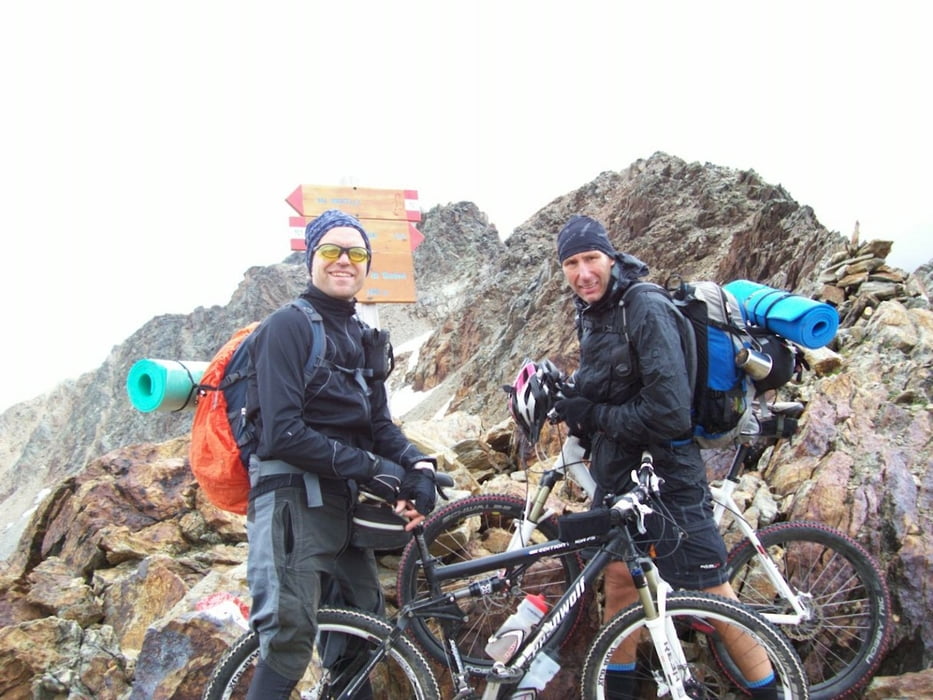
Diese Tour sind wir 2010 gefahren. Besonderheit hier ist, dass wir die klassische Route durch das Martelltal zum Rabbijoch verlassen haben und über den 3000 m hohen Passo di Saent geklettert sind.
Leider hat der Garmin-Speicher nicht ausgereicht, die gesamte Tour aufzuzeichnen, so dass ab Rabbi der geplante Track herhalten muss. Ist auch besser so, da es am letzten Tag so stark geregnet hat, dass wir den Tremalzo rechts liegen gelassen haben und schnurstracks über die Straße am Ledrosee vorbei zum Gardasee gefahren sind. Ich stelle allen Interessierten hier aber auch den Originaltrack zur Verfügung: Originaltrack herunterladen.
galéria trás


Mapa trasy a výškový profil
Minimum height 78 m
Maximum height 3125 m
More about the tour author
|
|
derpeter |
komentáre

GPS trasy
Trackpoints-
GPX / Garmin Map Source (gpx) download
-
TCX / Garmin Training Center® (tcx) download
-
CRS / Garmin Training Center® (crs) download
-
Google Earth (kml) download
-
G7ToWin (g7t) download
-
TTQV (trk) download
-
Overlay (ovl) download
-
Fugawi (txt) download
-
Kompass (DAV) Track (tk) download
-
list trasy (pdf) download
-
Original file of the author (gpx) download
More about the tour author
|
|
derpeter |
Add to my favorites
Remove from my favorites
Edit tags
Open track
My score
Rate