


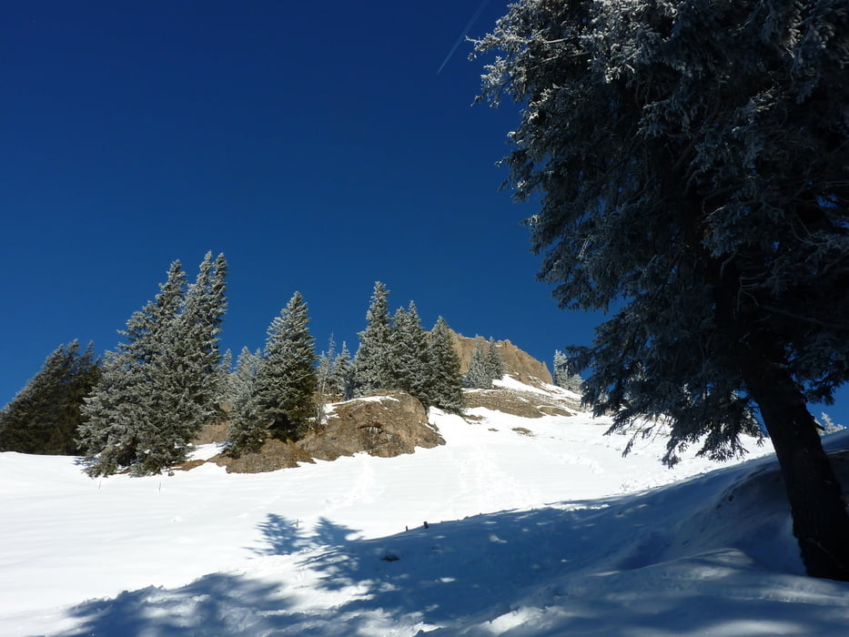
Schöne Skitour mit herrlicher Gipfelaussicht.
Hangausrichtung, Südwest bis Südost.
Nur bei sicheren Verhältnissen und guter Sicht empfehlenswert.
Die Route ist relativ schwierig zu finden, gelegte Spuren sind deshalb von Vorteil.
Speziell sollte der Abzweig in östliche Richtung nicht verpasst werden.
Dort besteht Schneebrettgefahr durch die steilen Grashänge oberhalb der Route.
Die Abfahrt erfolgt wie der Aufstieg.
Einkehrmöglichkeit in der Socher Alpe.
Hier hat das Navi ein paar Bonuspunkte aufgezeichnet, diese können getrost ignoriert werden.
galéria trás


Mapa trasy a výškový profil
Minimum height 1036 m
Maximum height 1752 m
More about the tour author
|
|
erwin58 |
komentáre

Anfahrt über den Riedbergpass oder über Hittisau.
Parken: Etwa 400m östlich von der Balderschwanger Kirche gegen Gebühr.
GPS trasy
Trackpoints-
GPX / Garmin Map Source (gpx) download
-
TCX / Garmin Training Center® (tcx) download
-
CRS / Garmin Training Center® (crs) download
-
Google Earth (kml) download
-
G7ToWin (g7t) download
-
TTQV (trk) download
-
Overlay (ovl) download
-
Fugawi (txt) download
-
Kompass (DAV) Track (tk) download
-
list trasy (pdf) download
-
Original file of the author (gpx) download
More about the tour author
|
|
erwin58 |
Add to my favorites
Remove from my favorites
Edit tags
Open track
My score
Rate