Login

Zabudli ste prihlasovacia meno

Cookies have to be accepted!
Your browser's cookie functionality is disabled. Please enable this functionality.

Not a member yet?

Register now
Login

Available for registred users only

Log in to use this feature.

Zabudli ste prihlasovacia meno

Cookies have to be accepted!
Your browser's cookie functionality is disabled. Please enable this functionality.

Not a member yet?

Register now
Filter
Kategórie
Advanced filters
  • Dĺžka (km)
  • výškomer
Uložiť filter Reset filter

TrackRank

QRCode

Technical data

Dĺžka9,4 km výškomer256 m Way down263 m Doba03:30 h:m dátum07.01.2011
ohodnotenia Author Kraj pôžitok z túry kondícia technika

štatistika

849 náhľady 1 ohodnotenie 107 Stiahnutia 4.00 priemer
Rate
  • list trasy
  • príjazd
  • Stiahnutia

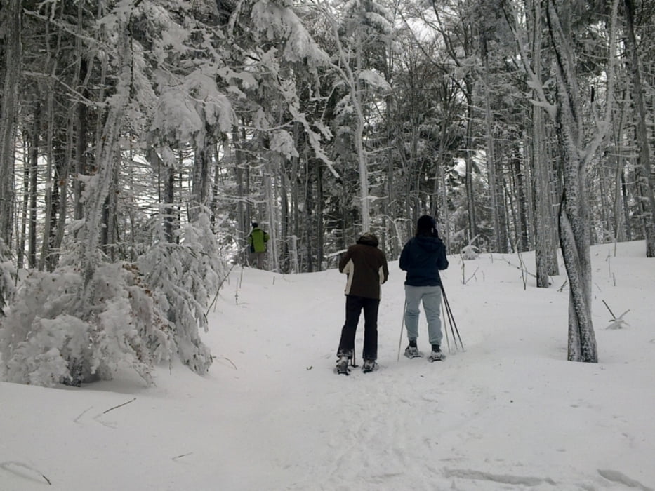
Schneeschuhtour zu den schönsten Aussichtspunkten am Gibacht. Die Tour kann auch verkürzt werden, wenn man den Abschnitt entlang der Grenze auslässt. Die Tour ist dann nur noch 5,3 km lang, es sind aber trotzdem alle Aussichtspunkte enthalten.

Zwei ganz kurze Abschnitte laufen parellel zur Loipe, daher auf Skifahrer achten. Wege nicht verlassen, um kein Wild aufzuscheuchen.

Further information at

http://www.gibacht.com/

galéria trás

Mapa trasy a výškový profil

  • Open Street Map
  • Google
Minimum height 793 m Maximum height 935 m Detailný pohľad

More about the tour author

grenz-pfad-fahrer
Member since 2009

Send private message

komentáre

waldaugen on 10.03.2011

Deine Touren

Hallo Christoph, auf Schritt und Tritt stoße ich auf deine Touren. Super, du bist sehr fleißig. Sowohl im Gelände, als auch auf GPS-Info. Ich experimentiere jetzt auch mit diesen Seiten mit "Learning bei doing". Schau doch einfach mal rein unter "waldaugen".
Viele Grüße
Rudi

Von Furth im Wald in Richtung Skilifte Voithenberg und weiter nach Althütte. Hier ist der Abzweig zum Berggasthof Gibacht.

GPS trasy

Trackpoints
  • GPX / Garmin Map Source (gpx) download
  • TCX / Garmin Training Center® (tcx) download
  • CRS / Garmin Training Center® (crs) download
  • Google Earth (kml) download
  • G7ToWin (g7t) download
  • TTQV (trk) download
  • Overlay (ovl) download
  • Fugawi (txt) download
  • Kompass (DAV) Track (tk) download
  • list trasy (pdf) download
  • Original file of the author (gpx) download

More about the tour author

grenz-pfad-fahrer
Member since 2009

Send private message
Share track
Add to my favorites
Remove from my favorites
Edit tags
My score
Rate
trasa: Gibacht
Druh: snežnice
Dĺžka: 9,4 km
Evaluated on:
Doba:
Day(s)
Hour(s)
Minute(s)
ohodnotenie: Kraj pôžitok z túry kondícia technika