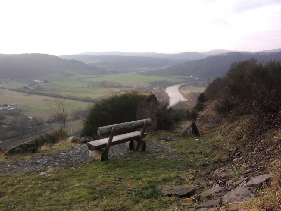
Abwechslungsreiche Wanderung oberhalb der Saar mit schönen Ausblicken auf Wiltungen. Man kan das Weintgut von Günther Jauch sehen. Dann geht es durch Wald und über Felder nach Konz-Rohscheid. Wir sind in der Pizzeria eingekehrt. Empfehlenswert ist aber auch ein Besuch im Freilichtmuseum. Dann sollte man sich den 5 km Schlenker zum Kobenbachhaus sparen.
galéria trás
Mapa trasy a výškový profil
Minimum height 10 m
Maximum height 308 m
komentáre

Anfahrt mit der Bahn nach Konz-Süd
GPS trasy
Trackpoints-
GPX / Garmin Map Source (gpx) download
-
TCX / Garmin Training Center® (tcx) download
-
CRS / Garmin Training Center® (crs) download
-
Google Earth (kml) download
-
G7ToWin (g7t) download
-
TTQV (trk) download
-
Overlay (ovl) download
-
Fugawi (txt) download
-
Kompass (DAV) Track (tk) download
-
list trasy (pdf) download
-
Original file of the author (gpx) download
Add to my favorites
Remove from my favorites
Edit tags
Open track
My score
Rate


