Login

Zabudli ste prihlasovacia meno

Cookies have to be accepted!
Your browser's cookie functionality is disabled. Please enable this functionality.

Not a member yet?

Register now
Login

Available for registred users only

Log in to use this feature.

Zabudli ste prihlasovacia meno

Cookies have to be accepted!
Your browser's cookie functionality is disabled. Please enable this functionality.

Not a member yet?

Register now
Filter
Kategórie
Advanced filters
  • Dĺžka (km)
  • výškomer
Uložiť filter Reset filter

TrackRank

QRCode

Technical data

Dĺžka10,9 km výškomer365 m Way down336 m Doba03:00 h:m dátum17.01.2011
ohodnotenia Author Kraj pôžitok z túry kondícia technika

štatistika

926 náhľady ohodnotenia 266 Stiahnutia priemer
Rate
  • list trasy
  • príjazd
  • Stiahnutia


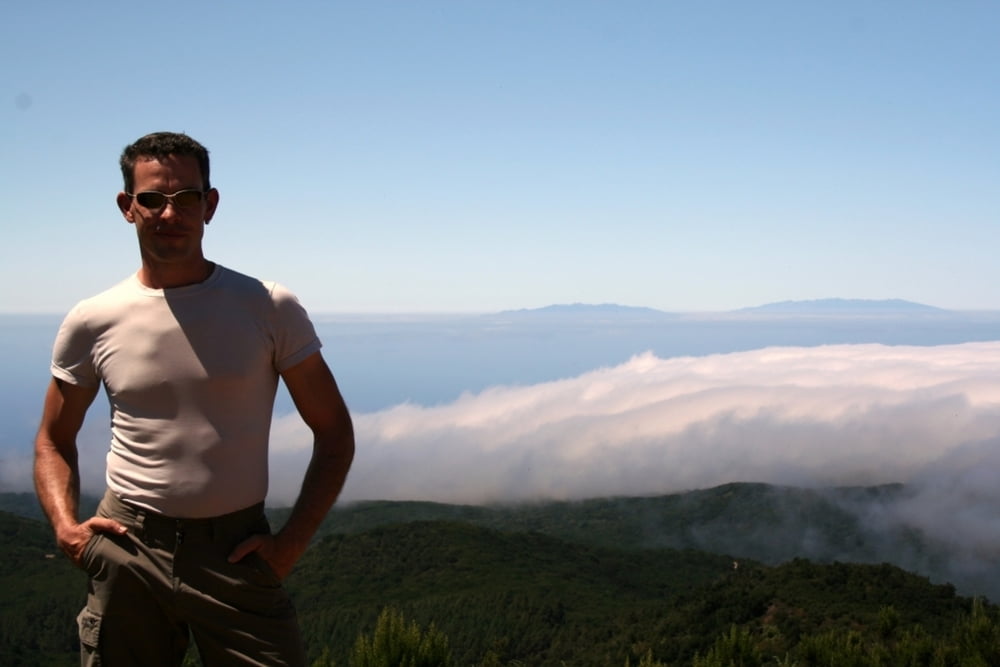
Diese Tour habe ich mir zu Beginn vorgenommen. Laut meines Wanderführers ist diese Tour auch eine mittelschwere. Der Garajonay ist ein an der "Spitze" ca 1500m hohes Hochplateau, von wo aus man bei guten Wetter eine fabelhafte Sicht auf die Umliegenden Wälder und natürlich auch auf die nicht fernen Nachbarinseln hat. Es ist ein ergreifendes Panorama über die Wolken auf den Teide, Spaniens höchsten Berg zu blicken!

Größtenteils führt die Wanderung durch den sagenumwobenen Nebelwald. Als Ausgangspunkt habe ich La Laguna Grande gewählt, hier gibt es ausreichend Parkplätze an dem großen, offenen Waldgrillplatz.
Tritt man aus den alles umgebenen Wolken heraus, lichtet sich auch bald der Wald und gibt den Blick frei...
Der Abstieg führt ebenfalls auf gut begehbaren Wegen leicht bergab

galéria trás

Mapa trasy a výškový profil

  • Open Street Map
  • Google
Minimum height 1239 m Maximum height 1499 m Detailný pohľad

More about the tour author

tom_ac
Member since 2010

Send private message

komentáre

GPS trasy

Trackpoints
  • GPX / Garmin Map Source (gpx) download
  • TCX / Garmin Training Center® (tcx) download
  • CRS / Garmin Training Center® (crs) download
  • Google Earth (kml) download
  • G7ToWin (g7t) download
  • TTQV (trk) download
  • Overlay (ovl) download
  • Fugawi (txt) download
  • Kompass (DAV) Track (tk) download
  • list trasy (pdf) download
  • Original file of the author (gpx) download

More about the tour author

tom_ac
Member since 2010

Send private message
Share track
Add to my favorites
Remove from my favorites
Edit tags
My score
Rate
trasa: Aufstieg zum Garajonay
Druh: trasa
Dĺžka: 10,9 km
Evaluated on:
Doba:
Day(s)
Hour(s)
Minute(s)
ohodnotenie: Kraj pôžitok z túry kondícia technika