Login

Zabudli ste prihlasovacia meno

Cookies have to be accepted!
Your browser's cookie functionality is disabled. Please enable this functionality.

Not a member yet?

Register now
Login

Available for registred users only

Log in to use this feature.

Zabudli ste prihlasovacia meno

Cookies have to be accepted!
Your browser's cookie functionality is disabled. Please enable this functionality.

Not a member yet?

Register now
Filter
Kategórie
Advanced filters
  • Dĺžka (km)
  • výškomer
Uložiť filter Reset filter

TrackRank

QRCode

Technical data

Dĺžka5,0 km výškomer87 m Way down101 m Doba01:45 h:m dátum16.04.2007
ohodnotenia Author Kraj pôžitok z túry kondícia technika

štatistika

2479 náhľady 1 ohodnotenie 299 Stiahnutia 5.00 priemer
Rate
  • list trasy
  • príjazd
  • Stiahnutia
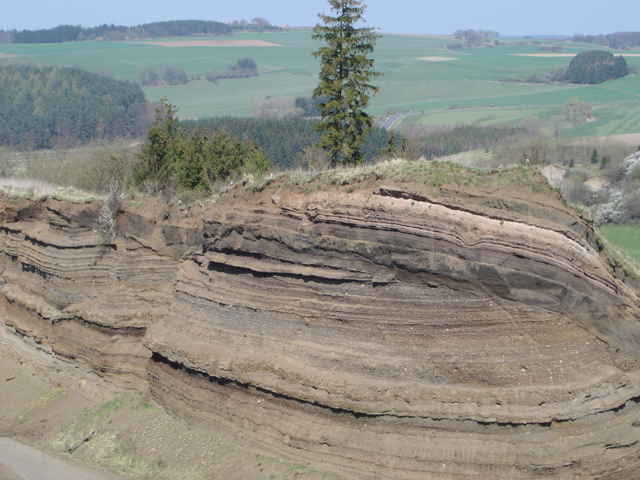
Kurze, einfache Tour mit Geologisch interessanten Formationen.

Further information at

http://www.rockeskyll.de/

galéria trás

Mapa trasy a výškový profil

  • Open Street Map
  • Google
Minimum height 401 m Maximum height 498 m Detailný pohľad

More about the tour author

HeavyD

komentáre

Von Koblenz A 48 kommendAbfahrt Vulkaneifel Dreieck in Richtung Gerolstein, über B 410 von Daun aus in Richtung Dockweiler - Gerolstein fahren. Am Abzweig zur Ortschaft Rockeskyll der Hauptstraße folgen.

GPS trasy

Trackpoints
  • GPX / Garmin Map Source (gpx) download
  • TCX / Garmin Training Center® (tcx) download
  • CRS / Garmin Training Center® (crs) download
  • Google Earth (kml) download
  • G7ToWin (g7t) download
  • TTQV (trk) download
  • Overlay (ovl) download
  • Fugawi (txt) download
  • Kompass (DAV) Track (tk) download
  • list trasy (pdf) download
  • Original file of the author (gpx) download

More about the tour author

HeavyD

Share track
Add to my favorites
Remove from my favorites
Edit tags
My score
Rate
trasa: Vulkankomplex Rockeskyller Kopf
Druh: trasa
Dĺžka: 5,0 km
Evaluated on:
Doba:
Day(s)
Hour(s)
Minute(s)
ohodnotenie: Kraj pôžitok z túry kondícia technika