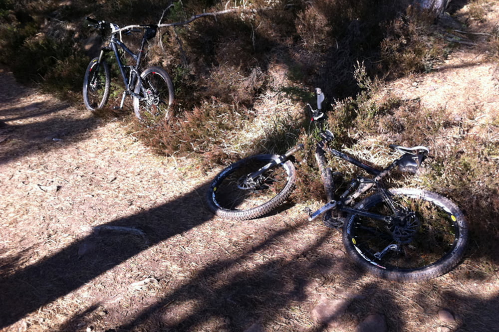
Sehr schöne Tour. Sehr hoher Single Trail Anteil!
galéria trás
Mapa trasy a výškový profil
Minimum height 135 m
Maximum height 680 m
komentáre
Startpunkt ist der Sportplatz (neben Schwimmbad, gute Parkmöglichkeiten) in Neustadt.
GPS trasy
Trackpoints-
GPX / Garmin Map Source (gpx) download
-
TCX / Garmin Training Center® (tcx) download
-
CRS / Garmin Training Center® (crs) download
-
Google Earth (kml) download
-
G7ToWin (g7t) download
-
TTQV (trk) download
-
Overlay (ovl) download
-
Fugawi (txt) download
-
Kompass (DAV) Track (tk) download
-
list trasy (pdf) download
-
Original file of the author (gpx) download
Add to my favorites
Remove from my favorites
Edit tags
Open track
My score
Rate


Toll
Aufgrund der vielen Hütten lieber an einem Wochentag oder Samstag in Angriff nehmen, am Sonntag ist stellenweise Kind und Kegel unterwegs. Gibt aber auch viele ruhigere Passagen.
Tolle Trails!
Spitze!