


In Solingen Gräfrath ging es los in die Wupperberge, vorbei an der Kläranlage hinauf ins Burgholz. Im Burgholz in südlicher Richtung bis zur Teufelsbrücke und dann wieder hoch nach Gräfrath. Von hier westwärts nach Eschbach und dann am Itterbach hinauf wieder zum Ausgangspunkt.
Dieser Tour habe ich nicht so viele Sternchen gegeben, weil es doch einen sehr großen Anteil an Asphaltstrecken gibt. Es ist auch leider die Schnellstraße L 74 teilweise gut zu hören. Vielleicht stört das im Sommer weniger, wenn wieder Laub auf den Bäumen ist und der Schall abgehalten wird.
Das ist ein Wandervorschlag aus dem Wanderführer -Wandern im Bergischen Land- ISBN 978-3-7701-8019-6 vom Dumont Verlag.
Diese Tour wäre auch etwas für MTB´s
galéria trás


Mapa trasy a výškový profil
Minimum height 114 m
Maximum height 275 m
More about the tour author
|
|
radenberger |
komentáre

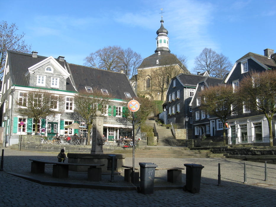
Solingen Gräfrath, Parkplatz am Brandteich
GPS trasy
Trackpoints-
GPX / Garmin Map Source (gpx) download
-
TCX / Garmin Training Center® (tcx) download
-
CRS / Garmin Training Center® (crs) download
-
Google Earth (kml) download
-
G7ToWin (g7t) download
-
TTQV (trk) download
-
Overlay (ovl) download
-
Fugawi (txt) download
-
Kompass (DAV) Track (tk) download
-
list trasy (pdf) download
-
Original file of the author (gpx) download
More about the tour author
|
|
radenberger |
Add to my favorites
Remove from my favorites
Edit tags
Open track
My score
Rate