Login

Zabudli ste prihlasovacia meno

Cookies have to be accepted!
Your browser's cookie functionality is disabled. Please enable this functionality.

Not a member yet?

Register now
Login

Available for registred users only

Log in to use this feature.

Zabudli ste prihlasovacia meno

Cookies have to be accepted!
Your browser's cookie functionality is disabled. Please enable this functionality.

Not a member yet?

Register now
Filter
Kategórie
Advanced filters
  • Dĺžka (km)
  • výškomer
Uložiť filter Reset filter

TrackRank

QRCode

Technical data

Dĺžka3,2 km výškomer41 m Way down48 m Doba00:40 h:m dátum07.02.2011
ohodnotenia Author Kraj pôžitok z túry kondícia technika

štatistika

141 náhľady ohodnotenia 9 Stiahnutia priemer
Rate
  • list trasy
  • príjazd
  • Stiahnutia

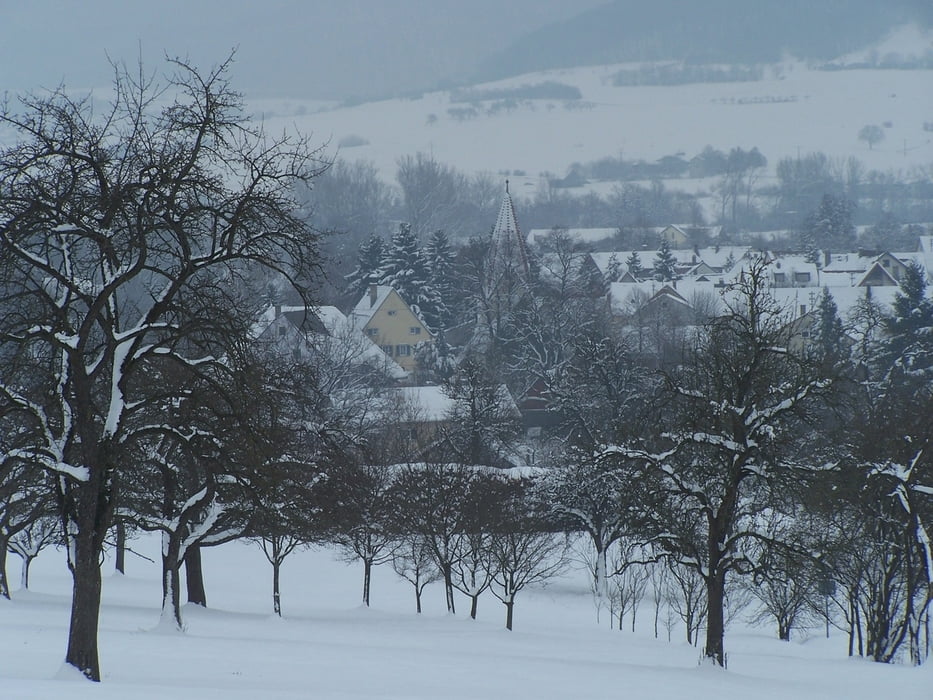
Eigentlich eine einfache kleine Runde um an der frischen Luft zu sein.

Eigentlich. Diesmal lag aber Schnee auf glattem tückischen Eis. Aus diesem Grund war der kurze Weg technisch anspruchsvoll. Zum Glück waren die Hundekötel genauso eingefroren wie der Matsch.

Ich mag en Weg wegen seiner Ausblicke auf den Albtrauf und der Michaelskirche an der die kleine Runde beginnt.

Further information at

http://www.boebingen.de/

galéria trás

Mapa trasy a výškový profil

  • Open Street Map
  • Google
Minimum height 423 m Maximum height 460 m Detailný pohľad

More about the tour author

Pheinz
Member since 2009

Send private message

komentáre

Parkplatz an der Michaelskirche.

GPS trasy

Trackpoints
  • GPX / Garmin Map Source (gpx) download
  • TCX / Garmin Training Center® (tcx) download
  • CRS / Garmin Training Center® (crs) download
  • Google Earth (kml) download
  • G7ToWin (g7t) download
  • TTQV (trk) download
  • Overlay (ovl) download
  • Fugawi (txt) download
  • Kompass (DAV) Track (tk) download
  • list trasy (pdf) download
  • Original file of the author (gpx) download

More about the tour author

Pheinz
Member since 2009

Send private message
Share track
Add to my favorites
Remove from my favorites
Edit tags
My score
Rate
trasa: Waldrunde
Druh: trasa
Dĺžka: 3,2 km
Evaluated on:
Doba:
Day(s)
Hour(s)
Minute(s)
ohodnotenie: Kraj pôžitok z túry kondícia technika