
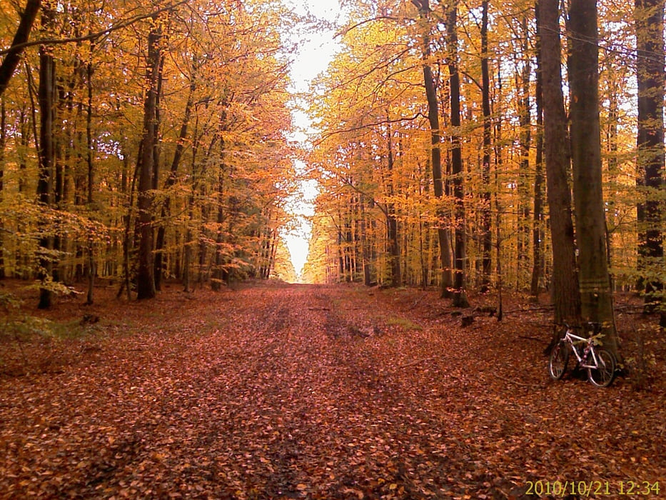

MTB Tour in die südlichen Ausläufer der Hassberge. Am Ausgang von Zeil, Richtung Königsberg, rechts ab zum Setzbach, links hoch durch den Zeiler Wald, am Dreiländerstein vorbei, links in den Wald an Kottenbrunn vorbei, durch den Wald, links an Hofstetten vorbei, zum/ auf den Rennweg. Da Richtung B303, vorbei an der "Urwiese" (Googeln lohnt sich) zurück am Königsberger Schloss vorbei zur Prappacher Höhe und über die Hohe Wann nach Zeil.
Vorwiegend geschotterte Waldwege und teilweise regionale Radwege mit Beschilderung.
Mapa trasy a výškový profil
Minimum height 218 m
Maximum height 486 m
More about the tour author
|
|
Astro |
komentáre

Mit dem Auto (A70, Ausfahrt Knetzgau oder Eltmann, dann B26 bis nach 97475 Zeil am Main. Oder mit dem Zug, Zeil liegt ca. in der Mitte von Schweinfurt und Bamberg
GPS trasy
Trackpoints-
GPX / Garmin Map Source (gpx) download
-
TCX / Garmin Training Center® (tcx) download
-
CRS / Garmin Training Center® (crs) download
-
Google Earth (kml) download
-
G7ToWin (g7t) download
-
TTQV (trk) download
-
Overlay (ovl) download
-
Fugawi (txt) download
-
Kompass (DAV) Track (tk) download
-
list trasy (pdf) download
-
Original file of the author (gpx) download
More about the tour author
|
|
Astro |
Add to my favorites
Remove from my favorites
Edit tags
Open track
My score
Rate