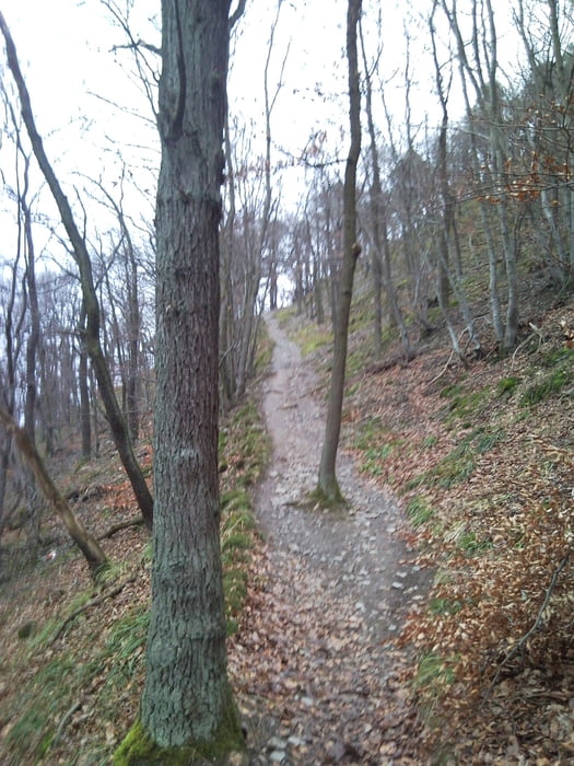
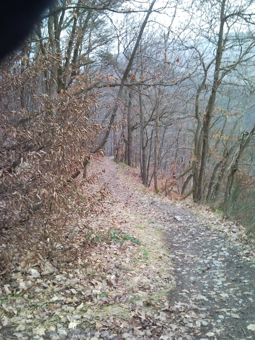
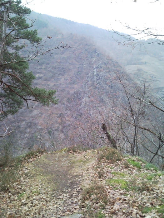
Schoner Trail vom Schrock über Teufelsley wieder ins Ahrtal.
Startpunkt ist am Bahnhof in Mayschoß auf dem großen Parkplatz. Von da gehts erstmal saftig bergauf bis zum Schrock. Ab hier beginnt dann der Trailspaß bis ins Tal. Einer der Top Spots an der Ahr. Allerdings teilweise auch mit leicht kniffligen Stellen, somit villeicht für Neulinge mit Vorsicht anzugehen. Wer fahren kann braucht nirgendwo absteigen und hat unten angekommen garantiert ein Grinsen im Gesicht.
galéria trás
Mapa trasy a výškový profil
Minimum height 120 m
Maximum height 406 m
komentáre
Mayschoß liegt inmitten des Ahrtals, der Bahnhof ist leicht zu finden.
GPS trasy
Trackpoints-
GPX / Garmin Map Source (gpx) download
-
TCX / Garmin Training Center® (tcx) download
-
CRS / Garmin Training Center® (crs) download
-
Google Earth (kml) download
-
G7ToWin (g7t) download
-
TTQV (trk) download
-
Overlay (ovl) download
-
Fugawi (txt) download
-
Kompass (DAV) Track (tk) download
-
list trasy (pdf) download
-
Original file of the author (gpx) download
Add to my favorites
Remove from my favorites
Edit tags
Open track
My score
Rate


Schön