Login

Zabudli ste prihlasovacia meno

Cookies have to be accepted!
Your browser's cookie functionality is disabled. Please enable this functionality.

Not a member yet?

Register now
Login

Available for registred users only

Log in to use this feature.

Zabudli ste prihlasovacia meno

Cookies have to be accepted!
Your browser's cookie functionality is disabled. Please enable this functionality.

Not a member yet?

Register now
Filter
Kategórie
Advanced filters
  • Dĺžka (km)
  • výškomer
Uložiť filter Reset filter

TrackRank

QRCode

Technical data

Dĺžka21,7 km výškomer233 m Way down226 m Doba2 days 0 h dátum11.03.2011
ohodnotenia Author Kraj pôžitok z túry kondícia technika

štatistika

675 náhľady ohodnotenia 58 Stiahnutia priemer
Rate
  • list trasy
  • príjazd
  • Stiahnutia

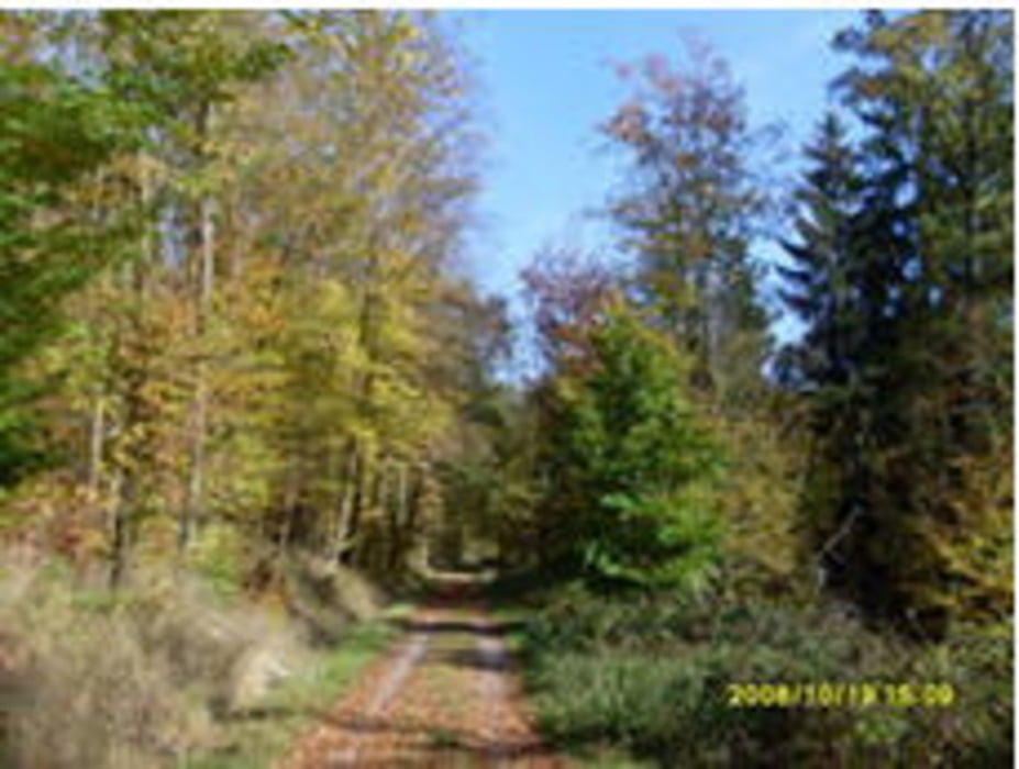
Kleine, kurze schöne Runde um Sindelfingen.

Route führt durch das Eichhölzer-Täle-Zur Autobahnbrück-Vaihingen-Panzerstraße-durch Sindelfingen --> zurück zum Ausgangspunkt

Kurze Runde zum abreagieren

Mapa trasy a výškový profil

  • Open Street Map
  • Google
Minimum height 364 m Maximum height 544 m Detailný pohľad

More about the tour author

cdalkmann
Member since 2008

Send private message

komentáre

GPS trasy

Trackpoints
  • GPX / Garmin Map Source (gpx) download
  • TCX / Garmin Training Center® (tcx) download
  • CRS / Garmin Training Center® (crs) download
  • Google Earth (kml) download
  • G7ToWin (g7t) download
  • TTQV (trk) download
  • Overlay (ovl) download
  • Fugawi (txt) download
  • Kompass (DAV) Track (tk) download
  • list trasy (pdf) download
  • Original file of the author (gpx) download

More about the tour author

cdalkmann
Member since 2008

Send private message
Share track
Add to my favorites
Remove from my favorites
Edit tags
My score
Rate
trasa: Schöne Waldrunde um Sindelfingen
Druh: horský bicykel
Dĺžka: 21,7 km
Evaluated on:
Doba:
Day(s)
Hour(s)
Minute(s)
ohodnotenie: Kraj pôžitok z túry kondícia technika