
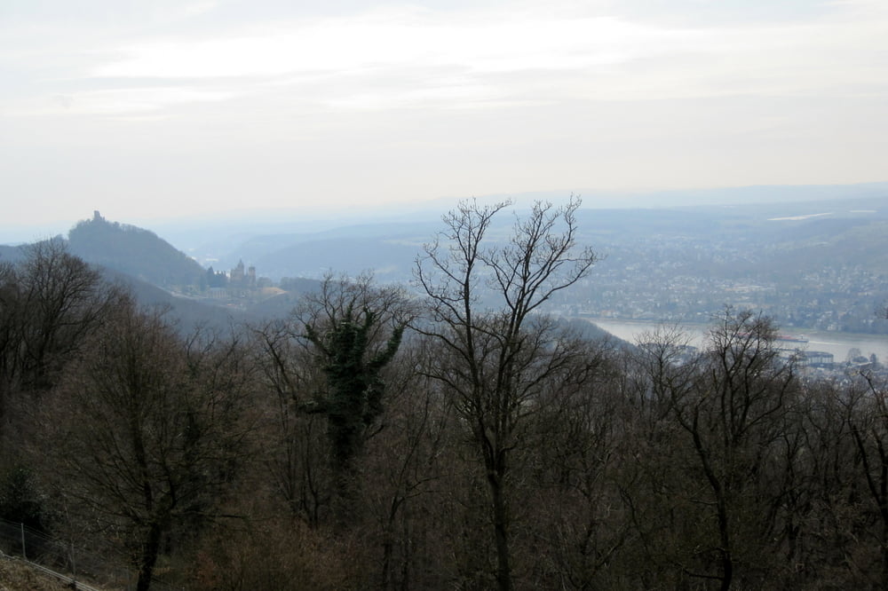

Wir starten in Bonn-Oberkassel an der Straßenbahnhaltestelle "Oberkassel-Mitte". Von dort geht es dann zum Rheinhöhenweg. Die Wanderung findet überwiegend auf dem Rheinhöhenweg statt, von dem nur sehr wenige Teile asphaltiert sind. Unterwegs gibt es viele Gelegenheiten zur Einkehr. Von Bad Honnef aus kann man mit der Straßenbahn oder der Eisenbahn wieder zurück zum Ausgangspunkt in Oberkassel fahren. Unser Track führt zum Bahnhof.
PS: zu dieser Tour hatte Wolfgang eingeladen.
galéria trás


Mapa trasy a výškový profil
Minimum height 48 m
Maximum height 380 m
More about the tour author
|
|
ds5 |
komentáre

GPS trasy
Trackpoints-
GPX / Garmin Map Source (gpx) download
-
TCX / Garmin Training Center® (tcx) download
-
CRS / Garmin Training Center® (crs) download
-
Google Earth (kml) download
-
G7ToWin (g7t) download
-
TTQV (trk) download
-
Overlay (ovl) download
-
Fugawi (txt) download
-
Kompass (DAV) Track (tk) download
-
list trasy (pdf) download
-
Original file of the author (gpx) download
More about the tour author
|
|
ds5 |
Add to my favorites
Remove from my favorites
Edit tags
Open track
My score
Rate