


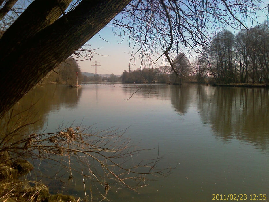
Rennrad Tour von Zeil aus linksseitig dem Main aufwärts, Richtung Bamberg, bis Unterhaid. Dort den Main überqueren nach Viereth und rechtseitig auf dem Maintal-Radweg bis Sand. Dann wieder über dem Main zurück nach Zeil.
Vorwiegend regionale und überregionale Radwege mit Beschilderung. Zum Teil rege befahrene Landstraße von Zeil bis Staffelbach. Dieses Teilstück kann auch auf dem Radweg neben der Bahntrasse gefahren werden, statt auf der Bundesstraße, alternativ zur Streckenaufzeichnung!
Vorwiegend regionale und überregionale Radwege mit Beschilderung. Zum Teil rege befahrene Landstraße von Zeil bis Staffelbach. Dieses Teilstück kann auch auf dem Radweg neben der Bahntrasse gefahren werden, statt auf der Bundesstraße, alternativ zur Streckenaufzeichnung!
galéria trás
Mapa trasy a výškový profil
Minimum height 224 m
Maximum height 263 m
More about the tour author
|
|
Astro |
komentáre

Mit dem Auto (A70, Ausfahrt Knetzgau oder Eltmann, dann B26 bis nach 97475 Zeil am Main. Oder mit dem Zug, Zeil liegt ca. in der Mitte von Schweinfurt und Bamberg
GPS trasy
Trackpoints-
GPX / Garmin Map Source (gpx) download
-
TCX / Garmin Training Center® (tcx) download
-
CRS / Garmin Training Center® (crs) download
-
Google Earth (kml) download
-
G7ToWin (g7t) download
-
TTQV (trk) download
-
Overlay (ovl) download
-
Fugawi (txt) download
-
Kompass (DAV) Track (tk) download
-
list trasy (pdf) download
-
Original file of the author (gpx) download
More about the tour author
|
|
Astro |
Add to my favorites
Remove from my favorites
Edit tags
Open track
My score
Rate