

Start: Haus des Gastes, Willingen
Willingen-Stryck-Aarbachtal-Schwalefeld-Willingen
Einfache Tour für die ganze Familie.
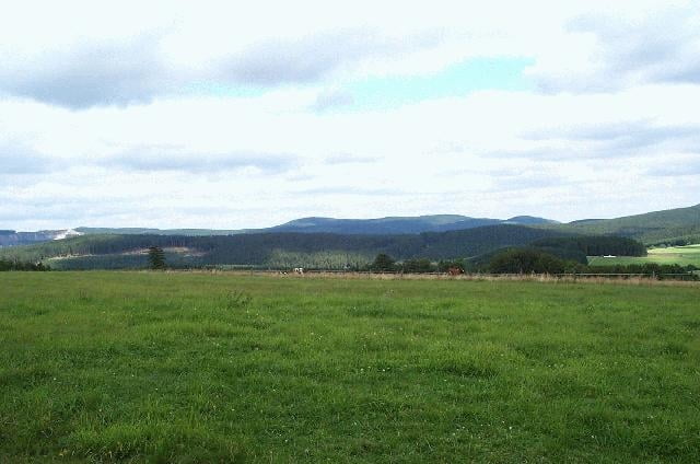
Von Willingen radeln wir in Richtung Stryck (ein Abstecher zur Mühlenkopfs chanze ist problemlos möglich) und weiter in das Aarbachtal hinein, das uns nach Schwalefeld bringt. Hier fahren wir durch den Ort und folgen dem Bachverlauf, bis wir das Ittertal erreichen. Itteraufwärts geht es nun parallel der Straße zurück nach Willingen. Wer möchte, kann in Schwalefeld noch den Anstieg zum Orenberg in Angriff nehmen und einen herrlichen Ausblick über Willingen genießen.
Sie möchten mehr Touren ! Sie möchten zu den Top Spott´s im Sauerland !
Wir haben für sie die passenden und top aktuellen Mountianbike- und Rennradtouren zusammen gestellt. Die GPS-Daten, stellen wir ihnen bei einer Buchung in unserem Bikehotel Schröder gerne kostenlos zur Verfügung. GPS-Verleih im Haus vorhanden.
Further information at
http://www.bike-hotel.comgaléria trás
Mapa trasy a výškový profil
Minimum height
Maximum height 646 m
More about the tour author

|
mtbwilli |
komentáre

GPS trasy
Trackpoints-
GPX / Garmin Map Source (gpx) download
-
TCX / Garmin Training Center® (tcx) download
-
CRS / Garmin Training Center® (crs) download
-
Google Earth (kml) download
-
G7ToWin (g7t) download
-
TTQV (trk) download
-
Overlay (ovl) download
-
Fugawi (txt) download
-
Kompass (DAV) Track (tk) download
-
list trasy (pdf) download
-
Original file of the author (g7t) download
More about the tour author
|
|
mtbwilli |
Add to my favorites
Remove from my favorites
Edit tags
Open track
My score
Rate