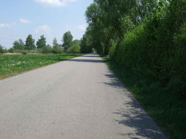
entspannte 50 KM Runde aus Markt Schwaben ohne allzuviel Verkehr und doch auf festen Straßen.
Über den Speichersee, durchs Finsinger Moos und dann in einer Schleife über leichte Hügel wieder zurück nach Markt Schwaben.
Über den Speichersee, durchs Finsinger Moos und dann in einer Schleife über leichte Hügel wieder zurück nach Markt Schwaben.
galéria trás
Mapa trasy a výškový profil
Minimum height 480 m
Maximum height 526 m
komentáre
Start im Gewerbegebiet Markt Schwaben - vorzugsweise am Aldi Parkplatz.
GPS trasy
Trackpoints-
GPX / Garmin Map Source (gpx) download
-
TCX / Garmin Training Center® (tcx) download
-
CRS / Garmin Training Center® (crs) download
-
Google Earth (kml) download
-
G7ToWin (g7t) download
-
TTQV (trk) download
-
Overlay (ovl) download
-
Fugawi (txt) download
-
Kompass (DAV) Track (tk) download
-
list trasy (pdf) download
-
Original file of the author (gpx) download
Add to my favorites
Remove from my favorites
Edit tags
Open track
My score
Rate


Tour 7500
Tour 7500