Login

Zabudli ste prihlasovacia meno

Cookies have to be accepted!
Your browser's cookie functionality is disabled. Please enable this functionality.

Not a member yet?

Register now
Login

Available for registred users only

Log in to use this feature.

Zabudli ste prihlasovacia meno

Cookies have to be accepted!
Your browser's cookie functionality is disabled. Please enable this functionality.

Not a member yet?

Register now
Filter
Kategórie
Advanced filters
  • Dĺžka (km)
  • výškomer
Uložiť filter Reset filter

TrackRank

QRCode

Technical data

Dĺžka69,3 km výškomer1323 m Way down1289 m Doba3 days 0 h dátum01.04.2011
ohodnotenia Author Kraj pôžitok z túry kondícia technika

štatistika

975 náhľady ohodnotenia 42 Stiahnutia priemer
Rate
  • list trasy
  • príjazd
  • Stiahnutia

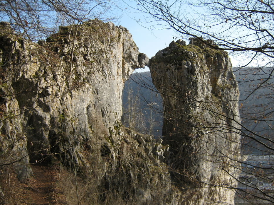
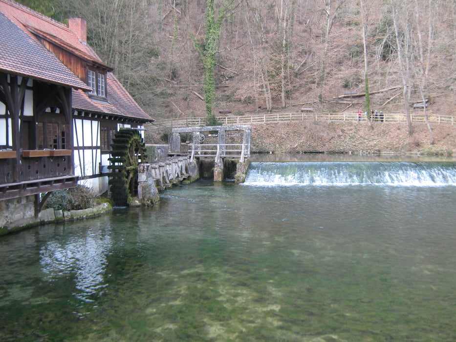
Vom Bahnhof Bad Urach über die Schwäbische Alb nach Ulm, auf den Spuren des "Stuttgarter Hutzelmännchen" von Eduard Mörike.

Der Weg verläuft auf gut gehbaren Wanderwegen, ohne große Anforderungen.

galéria trás

Mapa trasy a výškový profil

  • Open Street Map
  • Google
Minimum height 463 m Maximum height 867 m Detailný pohľad

More about the tour author

olker65
Member since 2009

Send private message

komentáre

Bad Urach ist ebenso wie Ulm gut mit dem Zug zu erreichen.

GPS trasy

Trackpoints
  • GPX / Garmin Map Source (gpx) download
  • TCX / Garmin Training Center® (tcx) download
  • CRS / Garmin Training Center® (crs) download
  • Google Earth (kml) download
  • G7ToWin (g7t) download
  • TTQV (trk) download
  • Overlay (ovl) download
  • Fugawi (txt) download
  • Kompass (DAV) Track (tk) download
  • list trasy (pdf) download
  • Original file of the author (gpx) download

More about the tour author

olker65
Member since 2009

Send private message
Share track
Add to my favorites
Remove from my favorites
Edit tags
My score
Rate
trasa: Bad Urach nach Ulm
Druh: trasa
Dĺžka: 69,3 km
Evaluated on:
Doba:
Day(s)
Hour(s)
Minute(s)
ohodnotenie: Kraj pôžitok z túry kondícia technika