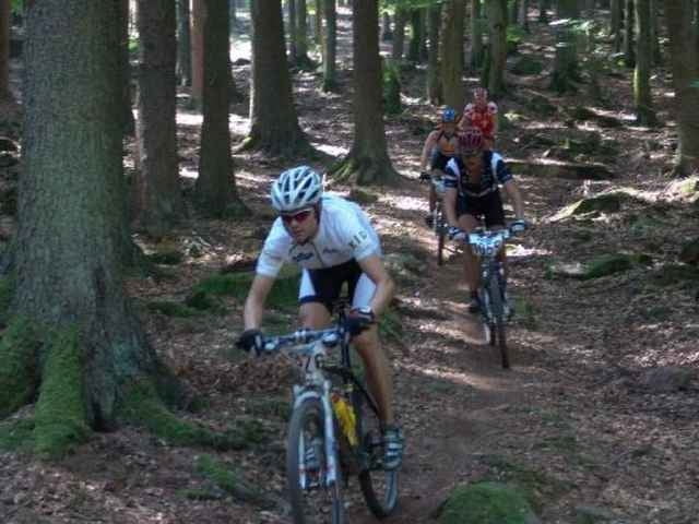
Für mich der schönste Marathon im Gebiet von Taunus und Spessart mit einem extrem hohen Anteil an Singeltrails. Die Routenführung ist echt Spitze und wird Allen die schnelle Downhillpassagen lieben riesig Spaß machen.
galéria trás
Mapa trasy a výškový profil
Minimum height 153 m
Maximum height 535 m
komentáre
Start ist in Lohr am Main im Stadtteil Wombach an der Grundschule (97816 Lohr; Bachstraße 32). Man fährt die A3 bis Abfahrt Hösbach, Laufach (Ausfahrt 61) und dann gleich links und sofort wieder rechts auf die B26. Dieser immer folgen bis Lohr am Main. In Lohr recht abbiegen in die Westtangente. Diese geht über in die Wombacherstraße. An der nächsten Kreuzung links (immer noch Wombachererstraße), dann an nächster Kreuzung recht in die Bachstraße.
GPS trasy
Trackpoints-
GPX / Garmin Map Source (gpx) download
-
TCX / Garmin Training Center® (tcx) download
-
CRS / Garmin Training Center® (crs) download
-
Google Earth (kml) download
-
G7ToWin (g7t) download
-
TTQV (trk) download
-
Overlay (ovl) download
-
Fugawi (txt) download
-
Kompass (DAV) Track (tk) download
-
list trasy (pdf) download
-
Original file of the author (g7t) download
Add to my favorites
Remove from my favorites
Edit tags
Open track
My score
Rate


Geänderte Routenführung
sinds heuer 100 Höhenmeter mehr?
aktueller Track?