


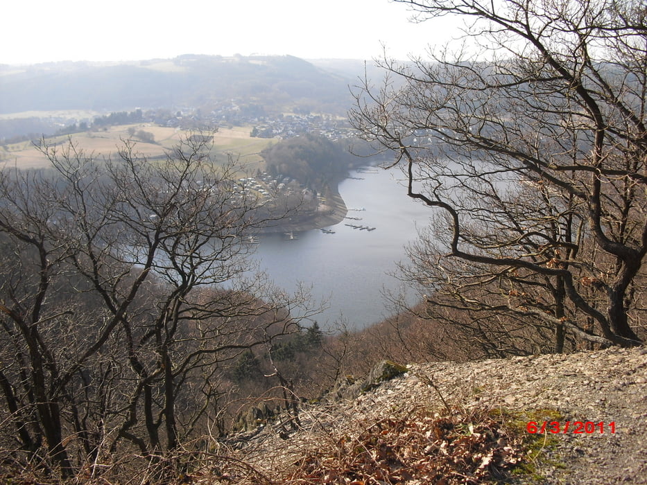
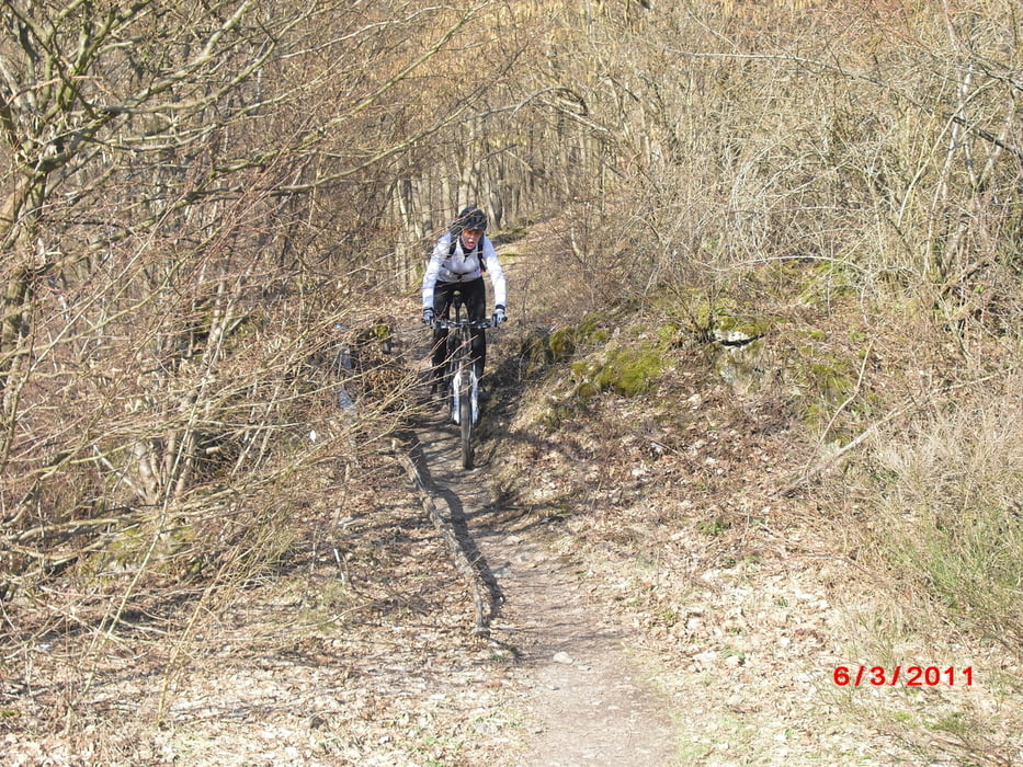
Von Einruhr aus Richtung altes Sperrgebiet Vogelsang. Vorbei an alten Schießanlagen nach Wollseifen, dass leider außer der alten Kirche nur noch aus Übhäuser der belgischen Armee besteht. Von dort gehts über die Urfttalsperre runter nach Rurberg und wieder hoch auf den Kermeter, wo man einen super Ausblick auf Rurberg u. Woffelsbach genießen kann. Ein Trail führt dann wieder hinab zur Urfttalsperre, wo es von dort zurück nach Einruhr geht.........
Fazit: Kleine aber schöne tour.
Viel Spaß!
Further information at
http://www.einruhr.net/galéria trás

Mapa trasy a výškový profil
Minimum height 210 m
Maximum height 529 m
More about the tour author
|
|
petiplatsch |
komentáre

Von der Autobahn aus Richtung Aachen kommend:
Lichtenbusch abfahren, Richtung Monschau, durch Roetgen durch, dann weiter Richtung Lammersdorf / Kesternich, in Kesternich weiter Richtung Rursee / Einruhr.
zum Parken bietet sich der Wendehammer am Ende der Rurstraße bestens an, dort kann man sich im shop & coffee noch mit der nötigen Verpflegung eindecken...
GPS trasy
Trackpoints-
GPX / Garmin Map Source (gpx) download
-
TCX / Garmin Training Center® (tcx) download
-
CRS / Garmin Training Center® (crs) download
-
Google Earth (kml) download
-
G7ToWin (g7t) download
-
TTQV (trk) download
-
Overlay (ovl) download
-
Fugawi (txt) download
-
Kompass (DAV) Track (tk) download
-
list trasy (pdf) download
-
Original file of the author (gpx) download
More about the tour author
|
|
petiplatsch |
Add to my favorites
Remove from my favorites
Edit tags
Open track
My score
Rate