


Rundtour Wangen-Weingarten
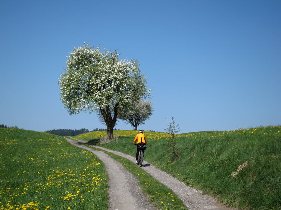
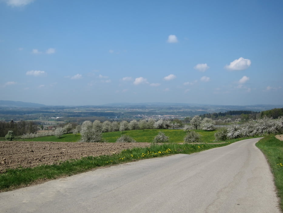
Schöne, aber etwas anstrengende Tour durch Oberschwaben. Vorbei an blühenden Obstbäumen und mit guten Einkehrmöglichkeiten.
Wegbeschaffenheit: ca. 90% auf verkehrsarmen Teerwegen, die restlichen 10% teilen sich mit Wald und Schotterwegen.
Wegbeschreibung: Vom Parkplatz P14 an der Argen entlang Richtung Niederwangen - Feld - Mittenweiler - Kernaten - Schomburg - Haslach - Felben - Bodnegg - Wollmarshofen - Offtershofen - Kemmerlang - Waidenhofen - Torkenweiler - Mariatal - Weißenau - Kleintobel - Berg - Kasernen - Weingarten - zurück über Schlier - Siebratsreute - Schafmaier - Kammerhof - Hauser - Winkelmühle - Oberau - Nieratz -Wangen
Further information at
http://www.tourisline.de/unterkunft_hotel/baden_wuerttemberg/wangen_im_allgaeu_hotel.htmlgaléria trás


Mapa trasy a výškový profil
Minimum height 422 m
Maximum height 712 m
More about the tour author
|
|
W-C |
komentáre

Anfahrt:
In Wangen, nähe Gallusbrücke, auf dem Parkplatz P14 (Scherrichmühlweg). Das Parken ist gebührenfrei
Parkplatz - Koordinaten für dein Navigationsgerät
N 47° 41. 235´
E 9° 50. 343´
GPS trasy
Trackpoints-
GPX / Garmin Map Source (gpx) download
-
TCX / Garmin Training Center® (tcx) download
-
CRS / Garmin Training Center® (crs) download
-
Google Earth (kml) download
-
G7ToWin (g7t) download
-
TTQV (trk) download
-
Overlay (ovl) download
-
Fugawi (txt) download
-
Kompass (DAV) Track (tk) download
-
list trasy (pdf) download
-
Original file of the author (gpx) download
More about the tour author
|
|
W-C |
Add to my favorites
Remove from my favorites
Edit tags
Open track
My score
Rate