


Eine wunderschöne Tour durch den Abend.
Die Sonne und die Ruhe genießen.
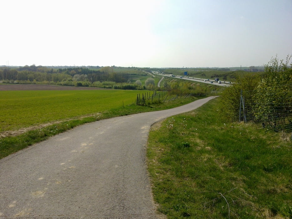
Im Tharandter Wald ist man praktisch alleine um diese Zeit
und kann die absolute Stille in sich aufsaugen. Einfach himmlisch!
Die Sonne und die Ruhe genießen.
Im Tharandter Wald ist man praktisch alleine um diese Zeit
und kann die absolute Stille in sich aufsaugen. Einfach himmlisch!
galéria trás


Mapa trasy a výškový profil
Minimum height 132 m
Maximum height 421 m
More about the tour author
|
|
GS_Rider |
komentáre

GPS trasy
Trackpoints-
GPX / Garmin Map Source (gpx) download
-
TCX / Garmin Training Center® (tcx) download
-
CRS / Garmin Training Center® (crs) download
-
Google Earth (kml) download
-
G7ToWin (g7t) download
-
TTQV (trk) download
-
Overlay (ovl) download
-
Fugawi (txt) download
-
Kompass (DAV) Track (tk) download
-
list trasy (pdf) download
-
Original file of the author (gpx) download
More about the tour author
|
|
GS_Rider |
Add to my favorites
Remove from my favorites
Edit tags
Open track
My score
Rate