


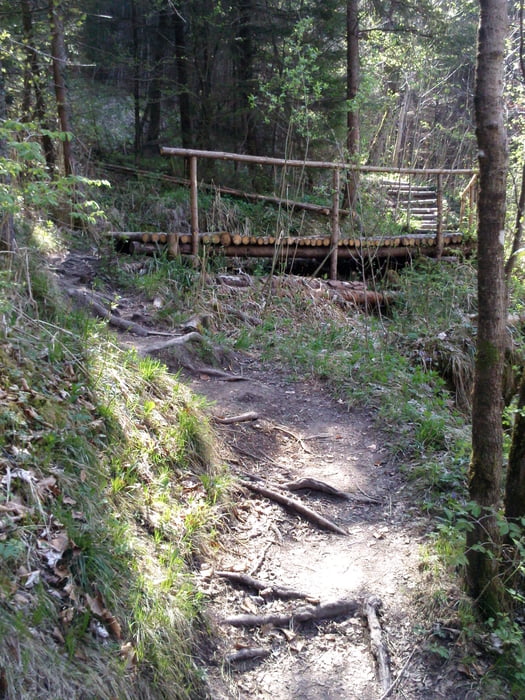
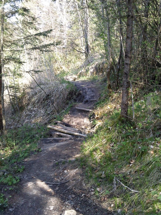
Mit dem Zug in einer Stunde nach Eschenlohe und dann geht´s durchs wunderschöne Murnauer Moos und das Moorgebiet westlich des Staffelsees in Richtung Rottenbuch. Die Ammerschlucht ist nicht fahrbar (ich hab´s schon rechts- und linksseitig versucht, immer mind. 1 Stunde schieben/tragen), darum auf Teerwegen in Richtung Ammertal. Beim Abstieg ins Tal sind auch einige Schiebepassagen dabei (siehe Bilder). Ab dann verläuft die Tour auf Forstwegen. Nach dem Wechsel auf das südliche Ammerufer kommt ein traumhafter Trail (muss aber trocken sein). Die Tour endet eigentlich am Ammersee. Wer noch Lust hat, kann ja die letzten 40 km noch bis München auf Teer ausrollen. Oder aber nach Herrsching zur S-Bahn.
galéria trás
Mapa trasy a výškový profil
Minimum height 525 m
Maximum height 897 m
More about the tour author

|
rchristian0 |
komentáre

Die Tour beginnt direkt am Bahnhof Eschenlohe.
GPS trasy
Trackpoints-
GPX / Garmin Map Source (gpx) download
-
TCX / Garmin Training Center® (tcx) download
-
CRS / Garmin Training Center® (crs) download
-
Google Earth (kml) download
-
G7ToWin (g7t) download
-
TTQV (trk) download
-
Overlay (ovl) download
-
Fugawi (txt) download
-
Kompass (DAV) Track (tk) download
-
list trasy (pdf) download
-
Original file of the author (gpx) download
More about the tour author
|
|
rchristian0 |
Add to my favorites
Remove from my favorites
Edit tags
Open track
My score
Rate