


Uphill und downhill: vom Hasper Bach zum Selbecke Bach
Wir starten auf dem kleinen Parkplatz am Schützenhof dem Beginn des Fuß-und Radweges. Fahren die alte Straßenbahntrasse bis zum Abzweig Fockenhagen, biegen links ab und fahren ca. 1,6 Km bergauf zum Flugplatz Wahl. Jetzt geht es unterhalb des Flugplatzes vorbei über Hof Wahl; Egge über dem Buscher Berg, hinunter (ca. 2,5 Km) zum Selbecke Bach („Blaue Donau“). Nun fahren wir den Bach aufwärts bis Hinnenwiese (gelegenheit zur Einkehr). Bis zur „Himmelsleiter“ fahren wir ca. 1 Km Asphalt biegen rechts ab zum Forsthaus Kurk, umrunden den Kettelberg und fahren über Küperei zum Start und Ziel.
Waldwege, ex Bahntrasse, Trails und Asphalt
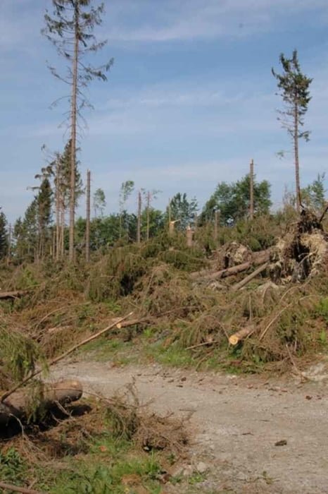
galéria trás
Mapa trasy a výškový profil
Minimum height 175 m
Maximum height 406 m
More about the tour author

|
Heino Moll |
komentáre

Anfahrt: In Hagen-Haspe, an der B 7, Richtung Ennepetal, Hasper Talsperre (auf Radwegzeichen achten, ca. 2,5 Km ); bzw. von Ennepetal-Milspe, Richtung Voerde, Hagen. Nach dem Ortseingansschild Hagen, 200m rechts.
GPS trasy
Trackpoints-
GPX / Garmin Map Source (gpx) download
-
TCX / Garmin Training Center® (tcx) download
-
CRS / Garmin Training Center® (crs) download
-
Google Earth (kml) download
-
G7ToWin (g7t) download
-
TTQV (trk) download
-
Overlay (ovl) download
-
Fugawi (txt) download
-
Kompass (DAV) Track (tk) download
-
list trasy (pdf) download
-
Original file of the author (gpx) download
More about the tour author
|
|
Heino Moll |
Add to my favorites
Remove from my favorites
Edit tags
Open track
My score
Rate