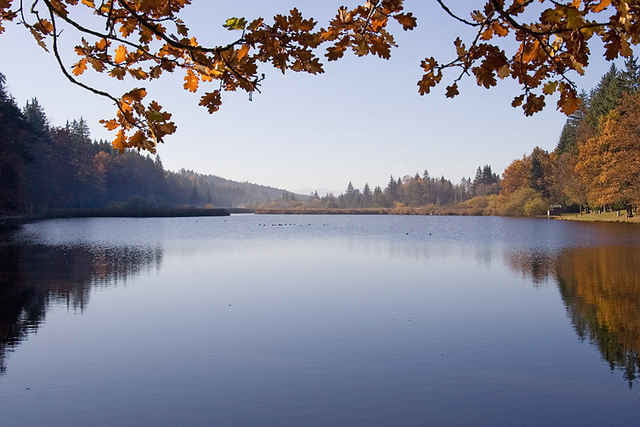
schöne Trainingsrunde mit kleineren Trails, schönen Schotterwegen und herrlicher Landschaft.
Die Tour startet am Bahnhof in Deisenhofen (S5). Sie führt durchs Gleißental vorbei am Deininger Weiher bis runter zur Isar.
Wir fahren ein Stück durch die Pupplinger Au und über Ascholding in einem Bogen zum Thanninger Weiher.
Danach geht's wieder zurück durch das Gleißental.
Die Tour ist auch für Anfänger geeignet und benötigt kaum technisches Können.
Mapa trasy a výškový profil
Minimum height 561 m
Maximum height 701 m
komentáre
Start ist am S-Bahnhof in Deisenhofen, denn man mit der S5, der S20 oder S27 erreicht.
Mit dem Auto erreicht man Deisenhofen über die A995, Ausfahrt Oberhaching (siehe http://www.maps.google.de)
Mit dem Auto erreicht man Deisenhofen über die A995, Ausfahrt Oberhaching (siehe http://www.maps.google.de)
GPS trasy
Trackpoints-
GPX / Garmin Map Source (gpx) download
-
TCX / Garmin Training Center® (tcx) download
-
CRS / Garmin Training Center® (crs) download
-
Google Earth (kml) download
-
G7ToWin (g7t) download
-
TTQV (trk) download
-
Overlay (ovl) download
-
Fugawi (txt) download
-
Kompass (DAV) Track (tk) download
-
list trasy (pdf) download
-
Original file of the author (gpx) download
Add to my favorites
Remove from my favorites
Edit tags
Open track
My score
Rate


Höhenmeter stimmen nicht