Login

Zabudli ste prihlasovacia meno

Cookies have to be accepted!
Your browser's cookie functionality is disabled. Please enable this functionality.

Not a member yet?

Register now
Login

Available for registred users only

Log in to use this feature.

Zabudli ste prihlasovacia meno

Cookies have to be accepted!
Your browser's cookie functionality is disabled. Please enable this functionality.

Not a member yet?

Register now
Filter
Kategórie
Advanced filters
  • Dĺžka (km)
  • výškomer
Uložiť filter Reset filter

TrackRank

QRCode

Technical data

Dĺžka30,2 km výškomer492 m Way down433 m Doba02:00 h:m dátum25.04.2011
ohodnotenia Author Kraj pôžitok z túry kondícia technika

štatistika

310 náhľady ohodnotenia 28 Stiahnutia priemer
Rate
  • list trasy
  • príjazd
  • Stiahnutia
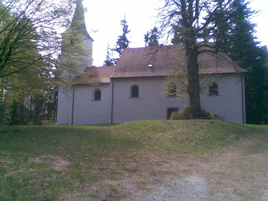
Von Waidhaus über den Pfreimdsteg zur Kirche am Ulrichsberg. Im Anschluss über Miesbrunn nach Brünst (Radweg R 10). Von Brünst aus auf Radweg R 12 wechseln und über Sulzberg nach Reichenau um von dort wieder zum Ausgangspunkt nach Waidhaus zu gelangen. Mountainbikemäßig interessant vor allem der Weg zum Ulrichsberg und vom Kastanienhof nach Reichenau. Der Rest der Strecke führt über Nebenstraßen und Forstwege.

galéria trás

Mapa trasy a výškový profil

  • Open Street Map
  • Google
Minimum height 475 m Maximum height 712 m Detailný pohľad

More about the tour author

Nori40
Member since 2010

Send private message

komentáre

GPS trasy

Trackpoints
  • GPX / Garmin Map Source (gpx) download
  • TCX / Garmin Training Center® (tcx) download
  • CRS / Garmin Training Center® (crs) download
  • Google Earth (kml) download
  • G7ToWin (g7t) download
  • TTQV (trk) download
  • Overlay (ovl) download
  • Fugawi (txt) download
  • Kompass (DAV) Track (tk) download
  • list trasy (pdf) download
  • Original file of the author (gpx) download

More about the tour author

Nori40
Member since 2010

Send private message
Share track
Add to my favorites
Remove from my favorites
Edit tags
My score
Rate
trasa: Ulrichsberg
Druh: horský bicykel
Dĺžka: 30,2 km
Evaluated on:
Doba:
Day(s)
Hour(s)
Minute(s)
ohodnotenie: Kraj pôžitok z túry kondícia technika