


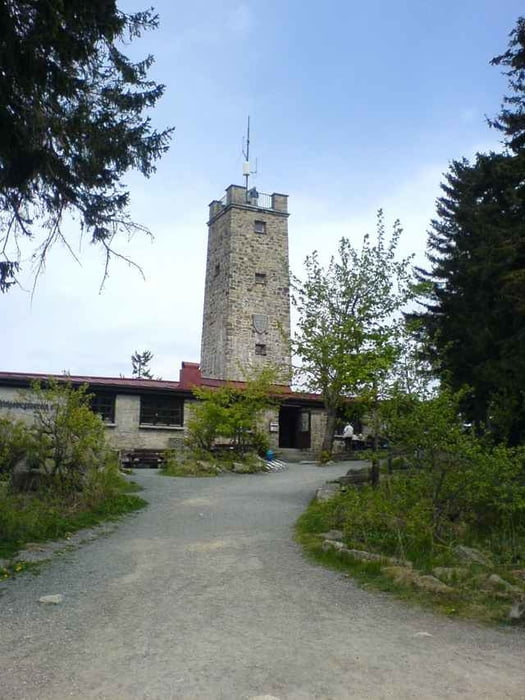
Nette Tour mit schönen Auffahrten zum Ochsenkopf. Die Tour geht um Fichtelberg und den Fichtelsee herum.
Schöner Uphill zum Oko und anschliessend ganz brauchbarer Trail wieder nach unten.
Reine Fahrzeit ca. 3h (entspannte Fahrweise).
Ich habe euch die beiden Tracklogs drangehängt. (500Punkte und Activelog=802 Punkte)
Viel Spass!
Schöner Uphill zum Oko und anschliessend ganz brauchbarer Trail wieder nach unten.
Reine Fahrzeit ca. 3h (entspannte Fahrweise).
Ich habe euch die beiden Tracklogs drangehängt. (500Punkte und Activelog=802 Punkte)
Viel Spass!
Further information at
http://www.bike-people.degaléria trás
Mapa trasy a výškový profil
Minimum height 561 m
Maximum height 1017 m
More about the tour author

|
Disman |
komentáre

Die Tour beginnt am Parkplatz bei Brand/Grünberg.
GPS trasy
Trackpoints-
GPX / Garmin Map Source (gpx) download
-
TCX / Garmin Training Center® (tcx) download
-
CRS / Garmin Training Center® (crs) download
-
Google Earth (kml) download
-
G7ToWin (g7t) download
-
TTQV (trk) download
-
Overlay (ovl) download
-
Fugawi (txt) download
-
Kompass (DAV) Track (tk) download
-
list trasy (pdf) download
-
Original file of the author (gpx) download
More about the tour author
|
|
Disman |
Add to my favorites
Remove from my favorites
Edit tags
Open track
My score
Rate