


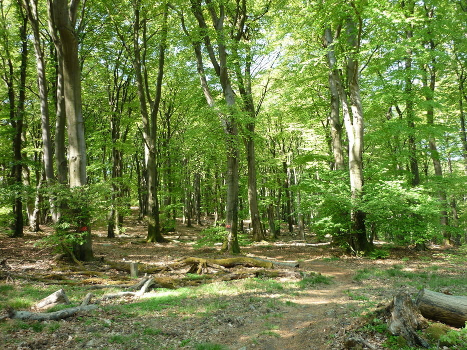
Wir starten in Niedernhausen und folgen zunächst der Markierung schwarzer Balken. Zunächst stetig bergan erreicht man die Hohe Kanzel, geht weiter leicht bergab und erreicht die Platte. Zum Abschluss geht die Wanderung über den Kellerskopf. Dort auch eine Einkehrmöglichkeit mit fantastischer Aussicht. Es geht wechselt über schmale Pfade und breite Wanderautobahnen.
galéria trás

Mapa trasy a výškový profil
Minimum height 224 m
Maximum height 588 m
More about the tour author

|
JuliaHolg |
komentáre

Niedernhausen liegt in der Nähe der B455 bei Wiesbaden. Parken kann man gebührenpflichtig am Bahnhof oder kostenlos im Wohngebiet.
GPS trasy
Trackpoints-
GPX / Garmin Map Source (gpx) download
-
TCX / Garmin Training Center® (tcx) download
-
CRS / Garmin Training Center® (crs) download
-
Google Earth (kml) download
-
G7ToWin (g7t) download
-
TTQV (trk) download
-
Overlay (ovl) download
-
Fugawi (txt) download
-
Kompass (DAV) Track (tk) download
-
list trasy (pdf) download
-
Original file of the author (gpx) download
More about the tour author
|
|
JuliaHolg |
Add to my favorites
Remove from my favorites
Edit tags
Open track
My score
Rate