


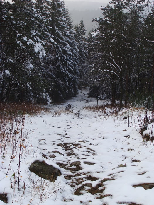
Wir starten auf dem Bahnhofsplatz in Kipsdorf bei 486 Hm, es geht hinauf zur Kirche ab in den Wald in Richtung Oberbärenburg, es erwartet euch ein schöner gleichmäßiger Anstieg zum aufwärmen, nach einigen hundert Metern biegen wir links ab. Die Skiloipe führt uns direkt zur Tellkoppe. Am Aussichtspunkt angekommen beginnt unser Trail, dieser war 2010 Bestandteil der Mad East Enduro Wertung. Der Trail kreuzt hin und wieder kurz die Forstautobahn bis er uns wieder unten in Kipsdorf ausspuckt.
galéria trás

Mapa trasy a výškový profil
Minimum height 556 m
Maximum height 796 m
More about the tour author
|
|
FreundDerSonne |
komentáre

B170 folgen bis Kipsdorf Bahnhof.
GPS trasy
Trackpoints-
GPX / Garmin Map Source (gpx) download
-
TCX / Garmin Training Center® (tcx) download
-
CRS / Garmin Training Center® (crs) download
-
Google Earth (kml) download
-
G7ToWin (g7t) download
-
TTQV (trk) download
-
Overlay (ovl) download
-
Fugawi (txt) download
-
Kompass (DAV) Track (tk) download
-
list trasy (pdf) download
-
Original file of the author (gpx) download
More about the tour author
|
|
FreundDerSonne |
Add to my favorites
Remove from my favorites
Edit tags
Open track
My score
Rate